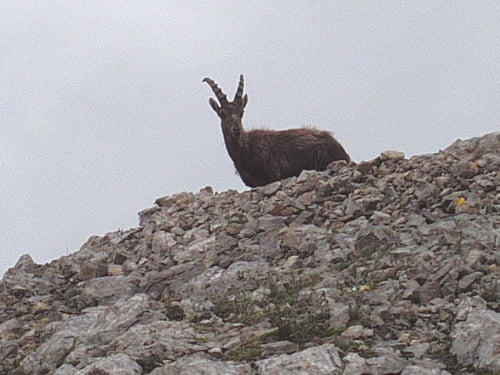
Itinerario con stupendo panorama sulle Dolomiti, dai verdi pascoli alle roccie della Costabella.
Si inizia salendo per il sentiero che porta al tratto attrezzato 'G.Badia' su per un canalino che si apre come una finestra sul passo e Rif. Selle.
Raggiunto il rifugio si sale per il sentiero attrezzato 'Bepi Zac' abbastanza facile e comunque ben attrezzato, vi è anche un tratto in galleria proprio dove i soldati dell'Austria-Ungheria avevano trasformato la Costabella in una imprendibile fortezza naturale, con incredibili scavi e posizionamenti che vale la pena di visitare.
Attraversate le creste e superando molti tratti con scale e corde fisse, si giunge al bivio che ci fa abbandonare le creste scendendo ripidi per i ghiaioni nord della Costabella.
Il ritorno ci ricongiunge alle stradine forestali della Val di S.Nicolò.
Bisogna avere con se attrezzatura da ferrata ed una pila. Attenzione ai temporali sulle creste, dalla sella tra Campagnacia e Costabella un piccolo tratto ferrato fa scendere a sud (30 min. per rif. Selle), qualora si volesse interrompere il tragitto.
NB: La traccia non contiene altimetria- rifatta con OZI-EXPL perchè troppo segmentata e con molte eco che la rendevano illeggibile.
Cartografia TABACCCO carta n.06 Val di Fassa GPS-UTM 1:25000
Further information at
http://www.fassaweb.netГалерея маршрутов
Карта маршрута и высотный профиль
Комментарии

GPS-Tracks
Trackpoints-
GPX / Garmin Map Source (gpx) download
-
TCX / Garmin Training Center® (tcx) download
-
CRS / Garmin Training Center® (crs) download
-
Google Earth (kml) download
-
G7ToWin (g7t) download
-
TTQV (trk) download
-
Overlay (ovl) download
-
Fugawi (txt) download
-
Kompass (DAV) Track (tk) download
-
Формуляр маршрута (pdf) download
-
Original file of the author (gpx) download


