Login

Забыл пароль?

Cookies have to be accepted!
Your browser's cookie functionality is disabled. Please enable this functionality.

Not a member yet?

Register now
Login

Available for registred users only

Log in to use this feature.

Забыл пароль?

Cookies have to be accepted!
Your browser's cookie functionality is disabled. Please enable this functionality.

Not a member yet?

Register now
Filter
Категории
Advanced filters
  • Длина (км)
  • Высотомер
Сохранить фильтр Reset filter

TrackRank

QRCode

Technical data

Длина9,5 km Высотомер59 m Way down62 m Длительность02:00 h:m Дата24.12.2008
Оценки Author Ландшафт Веселье Кондиция Техника

Статистика

1355 Виды 2 Оценки 110 Загрузки 4.50 Среднее
Rate
  • Формуляр маршрута
  • Дорога
  • Загрузки

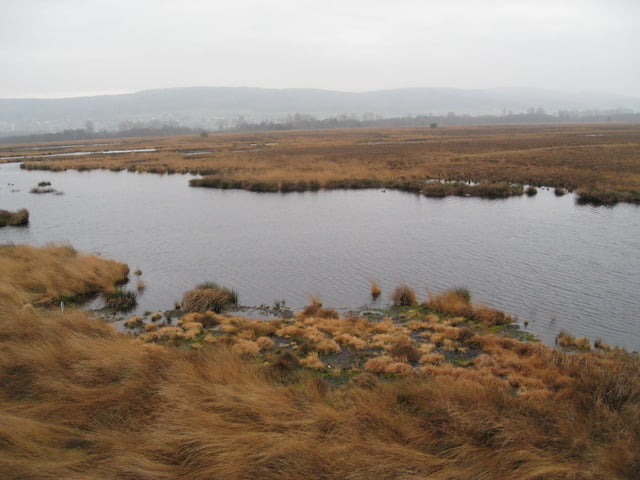
Moorwanderung (auch als Radtour oder Joggen möglich)

Start am Parkplatz und dann den roten Pfeilen folgen (Rundtour)

Further information at

http://de.wikipedia.org/wiki/Gro%C3%9Fes_Torfmoor

Галерея маршрутов

Карта маршрута и высотный профиль

  • Open Street Map
  • Google
Minimum height 33 m Maximum height 61 m Детальный вид

More about the tour author

vipogps
Member since 2008

Send private message

Комментарии

Nördlich von Nettelstedt zum Parkplatz (Karte: Südlich bei dem Flötweg) in Richung Frotheim

GPS-Tracks

Trackpoints
  • GPX / Garmin Map Source (gpx) download
  • TCX / Garmin Training Center® (tcx) download
  • CRS / Garmin Training Center® (crs) download
  • Google Earth (kml) download
  • G7ToWin (g7t) download
  • TTQV (trk) download
  • Overlay (ovl) download
  • Fugawi (txt) download
  • Kompass (DAV) Track (tk) download
  • Формуляр маршрута (pdf) download
  • Original file of the author (gpx) download

More about the tour author

vipogps
Member since 2008

Send private message
Share track
Add to my favorites
Remove from my favorites
Edit tags
My score
Rate
Маршрут: Wandertour durch das große Torfmoor
Вид: Пешеходный туризм
Длина: 9,5 km
Evaluated on:
Длительность:
Day(s)
Hour(s)
Minute(s)
Оценка: Ландшафт Веселье Кондиция Техника