


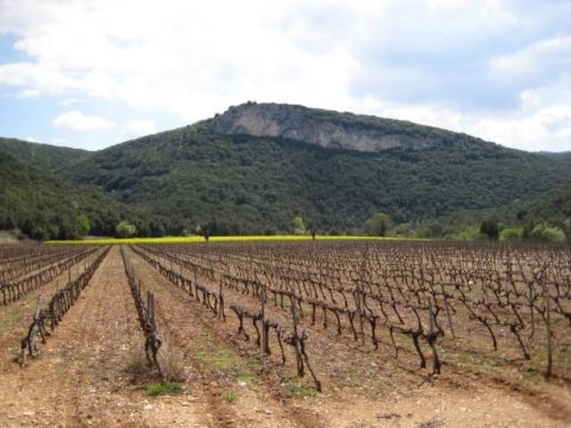
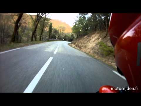
The route begins with fast nice two-lane roads which bring you to the famous bridge Pont d’Arc. From there take the D290 and follow the spectacular Gorges de l’Ardeche. The curves in this road even have names! The route then goes north across the Plateau de Gras over nice small roads to Saint-Montan (a historical town). The route then follows the river the Rhône and also passes chateau Rochemaure. The final part are fast two-lane roads again that bring you back to the starting point.
---
De route begint met snelle mooie tweebaanswegen en voert naar de beroemde natuurlijke brug Pont d’Arc. Vervolgens over de D290 langs de prachtige Gorges de l’Ardeche waar de bochten zelfs namen hebben. De route buigt daarna af naar het noorden en loopt over het plateau de Gras over mooie kleine wegen naar Saint-Montan (een historisch stadje). Vervolgens volgt u de weg langs de Rhône langs chateau Rochemaure. Het laatste stuk gaat weer vlot over snelle tweebaanswegen.
---
Op www.motorrijden.fr kunt u deze track ook als route downloaden.
Further information at
http://www.motorrijden.frГалерея маршрутов


Карта маршрута и высотный профиль
Minimum height 99999 m
Maximum height -99999 m
More about the tour author

|
Rambling_man |
Комментарии

GPS-Tracks
Trackpoints-
GPX / Garmin Map Source (gpx) download
-
TCX / Garmin Training Center® (tcx) download
-
CRS / Garmin Training Center® (crs) download
-
Google Earth (kml) download
-
G7ToWin (g7t) download
-
TTQV (trk) download
-
Overlay (ovl) download
-
Fugawi (txt) download
-
Kompass (DAV) Track (tk) download
-
Формуляр маршрута (pdf) download
-
Original file of the author (gpx) download
More about the tour author
|
|
Rambling_man |
Add to my favorites
Remove from my favorites
Edit tags
Open track
My score
Rate