Login

Забыл пароль?

Cookies have to be accepted!
Your browser's cookie functionality is disabled. Please enable this functionality.

Not a member yet?

Register now
Login

Available for registred users only

Log in to use this feature.

Забыл пароль?

Cookies have to be accepted!
Your browser's cookie functionality is disabled. Please enable this functionality.

Not a member yet?

Register now
Filter
Категории
Advanced filters
  • Длина (км)
  • Высотомер
Сохранить фильтр Reset filter

TrackRank

QRCode

Technical data

Длина33,8 km Высотомер185 m Way down2219 m Длительность02:00 h:m Дата05.01.2009
Оценки Author Ландшафт Веселье Кондиция Техника

Статистика

851 Виды 1 Оценка 90 Загрузки 4.00 Среднее
Rate
  • Формуляр маршрута
  • Дорога
  • Загрузки

Hab keine Lust mehr einen Text zu schreiben. Hab 3 mal ein Beschreibung eingegeben, und beim Speichern war sie verschwunden.

GPS Tour sollte dringend mal an der Seite arbeiten.
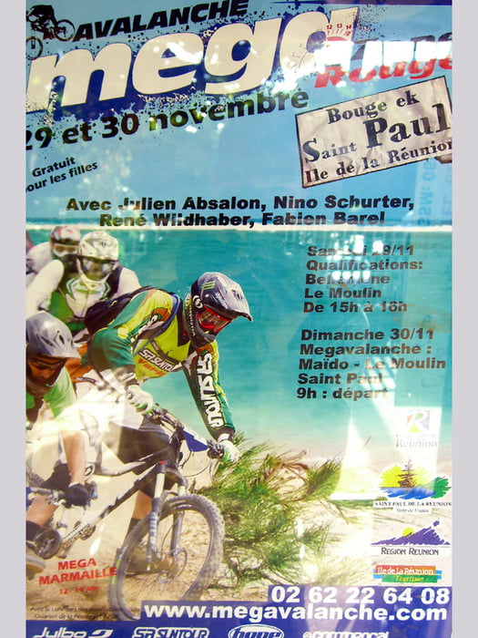
Галерея маршрутов

Карта маршрута и высотный профиль

  • Open Street Map
  • Google
Minimum height 32 m Maximum height 2205 m Детальный вид

More about the tour author

schuh
Member since 2008

Send private message

Комментарии

St Gilles

GPS-Tracks

Trackpoints
  • GPX / Garmin Map Source (gpx) download
  • TCX / Garmin Training Center® (tcx) download
  • CRS / Garmin Training Center® (crs) download
  • Google Earth (kml) download
  • G7ToWin (g7t) download
  • TTQV (trk) download
  • Overlay (ovl) download
  • Fugawi (txt) download
  • Kompass (DAV) Track (tk) download
  • Формуляр маршрута (pdf) download
  • Original file of the author (gpx) download

More about the tour author

schuh
Member since 2008

Send private message
Share track
Add to my favorites
Remove from my favorites
Edit tags
My score
Rate
Маршрут: Reunion - Maido - Avanlanchetrophy
Вид: Горный велосипед
Длина: 33,8 km
Evaluated on:
Длительность:
Day(s)
Hour(s)
Minute(s)
Оценка: Ландшафт Веселье Кондиция Техника