

Se trata de una etapa fácil y preciosa, sin duda es una de las que dejan huella en cualquier alforjero, especialmente por los 25 kms de travesía del Parque Natural del Río Lobos.
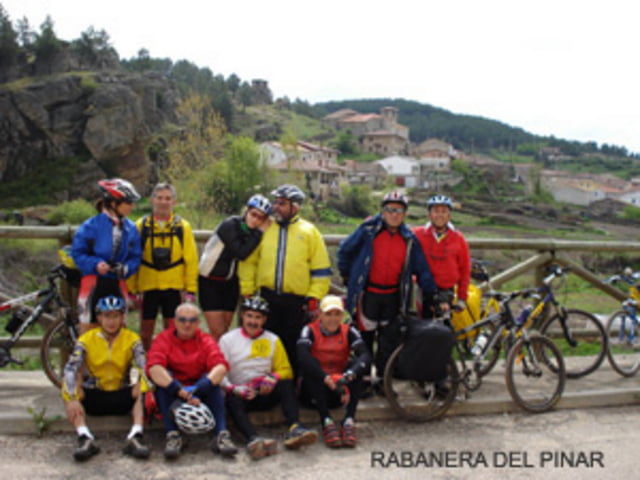
Con la Sierra de la Demanda a nuestra izquierda y siempre en dirección Sureste se abandona la provincia de Burgos por las poblaciones de Castrillo de La Reina y Moncalvillo para seguir por la trazada de la Cañada Real Segoviana hasta Rabanera del Pinar y después buscar el cauce del Río Lobos a su paso por Hontoria del Pinar.
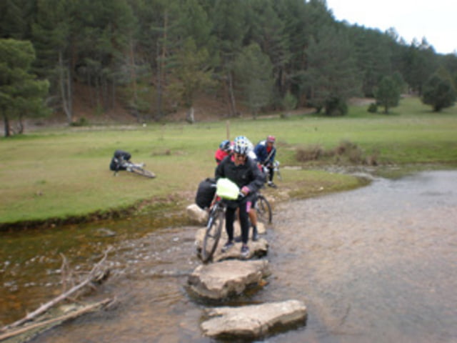
Por senderos y pistas se sigue el cauce del Río Lobos, el cual se cruza unas 14 veces, a lo largo del impresionante Cañón hasta la Ermita Templaria de San Bartolomé ya en la provincia de Soria.
Justo al final del cañón emerge entre las piedras el Río Ucero que vierte sus aguas sobre el Río Lobos rebautizándolo con el nombre de Ucero.
Por las llanas vegas del Ucero la etapa se adentra en la comarca de Tierras del Burgo para terminar en su preciosa capital El Burgo de Osma, población declarada Conjunto Histórico-Artístico.Галерея маршрутов


Карта маршрута и высотный профиль
Minimum height 899 m
Maximum height 1177 m
More about the tour author
|
|
jorgetor |
Комментарии

GPS-Tracks
Trackpoints-
GPX / Garmin Map Source (gpx) download
-
TCX / Garmin Training Center® (tcx) download
-
CRS / Garmin Training Center® (crs) download
-
Google Earth (kml) download
-
G7ToWin (g7t) download
-
TTQV (trk) download
-
Overlay (ovl) download
-
Fugawi (txt) download
-
Kompass (DAV) Track (tk) download
-
Формуляр маршрута (pdf) download
-
Original file of the author (gpx) download
More about the tour author
|
|
jorgetor |
Add to my favorites
Remove from my favorites
Edit tags
Open track
My score
Rate