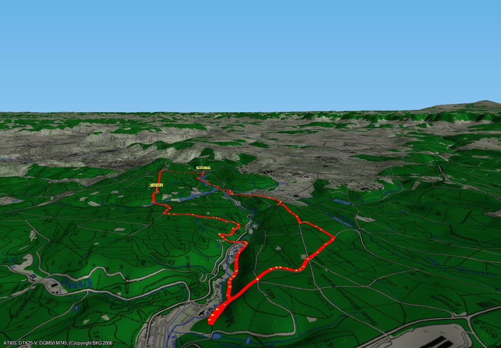
2. Alternative die Bärenschlössle Runde um die Seen zu erweitern.
Diesw Erweiterung geht über die Tauschklinge ins Mahdental. Nach einigen km entlang des Mahdental gehts steil bergauf zur Blutbuche und vorbei an Büsnau zurück zum Stratpunkt.
viel Spass
HAPPYEND
Further information at
http://blogjogspot.blogspot.com/Галерея маршрутов
Карта маршрута и высотный профиль
Minimum height 396 m
Maximum height 469 m
Комментарии
Parkplatz an der L1187 nahe am Schattenring
GPS-Tracks
Trackpoints-
GPX / Garmin Map Source (gpx) download
-
TCX / Garmin Training Center® (tcx) download
-
CRS / Garmin Training Center® (crs) download
-
Google Earth (kml) download
-
G7ToWin (g7t) download
-
TTQV (trk) download
-
Overlay (ovl) download
-
Fugawi (txt) download
-
Kompass (DAV) Track (tk) download
-
Формуляр маршрута (pdf) download
-
Original file of the author (gpx) download
Add to my favorites
Remove from my favorites
Edit tags
Open track
My score
Rate


radelrund