Login

Забыл пароль?

Cookies have to be accepted!
Your browser's cookie functionality is disabled. Please enable this functionality.

Not a member yet?

Register now
Login

Available for registred users only

Log in to use this feature.

Забыл пароль?

Cookies have to be accepted!
Your browser's cookie functionality is disabled. Please enable this functionality.

Not a member yet?

Register now
Filter
Категории
Advanced filters
  • Длина (км)
  • Высотомер
Сохранить фильтр Reset filter

TrackRank

QRCode

Technical data

Длина34,4 km Высотомер744 m Way down751 m Длительность03:20 h:m Дата03.04.2009
Оценки Author Ландшафт Веселье Кондиция Техника

Статистика

672 Виды Оценки 164 Загрузки Среднее
Rate
  • Формуляр маршрута
  • Дорога
  • Загрузки
Geplannte Rundfahrt der Collbikers aus Beaufort. 35km mit einem giftigem 2km Anstieg bis zu 18%. Gute Kondition ist vorrausetzung für diesen netten Trip

Further information at
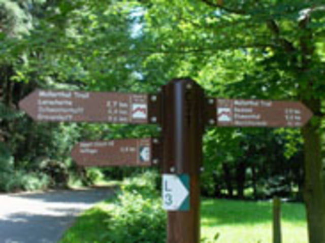
http://www.mullerthal.lu/

Галерея маршрутов

Карта маршрута и высотный профиль

  • Open Street Map
  • Google
Minimum height 183 m Maximum height 393 m Детальный вид

More about the tour author

Beforter
Member since 2009

Send private message

Комментарии

Beaufort Kummelsbau und dann ab dem Garmin folgen

GPS-Tracks

Trackpoints
  • GPX / Garmin Map Source (gpx) download
  • TCX / Garmin Training Center® (tcx) download
  • CRS / Garmin Training Center® (crs) download
  • Google Earth (kml) download
  • G7ToWin (g7t) download
  • TTQV (trk) download
  • Overlay (ovl) download
  • Fugawi (txt) download
  • Kompass (DAV) Track (tk) download
  • Формуляр маршрута (pdf) download
  • Original file of the author (gpx) download

More about the tour author

Beforter
Member since 2009

Send private message
Share track
Add to my favorites
Remove from my favorites
Edit tags
My score
Rate
Маршрут: Ranndonne Müllerthal 29.03.2009 35km
Вид: Горный велосипед
Длина: 34,4 km
Evaluated on:
Длительность:
Day(s)
Hour(s)
Minute(s)
Оценка: Ландшафт Веселье Кондиция Техника