Login

Забыл пароль?

Cookies have to be accepted!
Your browser's cookie functionality is disabled. Please enable this functionality.

Not a member yet?

Register now
Login

Available for registred users only

Log in to use this feature.

Забыл пароль?

Cookies have to be accepted!
Your browser's cookie functionality is disabled. Please enable this functionality.

Not a member yet?

Register now
Filter
Категории
Advanced filters
  • Длина (км)
  • Высотомер
Сохранить фильтр Reset filter

TrackRank

QRCode

Technical data

Длина11,3 km Высотомер178 m Way down282 m Длительность03:20 h:m Дата13.04.2009
Оценки Author Ландшафт Веселье Кондиция Техника

Статистика

348 Виды Оценки 29 Загрузки Среднее
Rate
  • Формуляр маршрута
  • Дорога
  • Загрузки

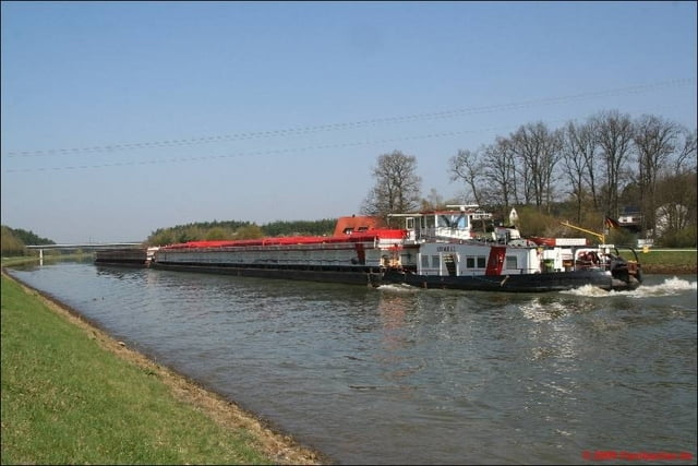
Diese Tour habe ich auf der Internetseite des Landratsamtes Roth gefunden.

Further information at

http://www.landratsamt-roth.de/desktopdefault.aspx/tabid-216/410_read-6323/

Галерея маршрутов

Карта маршрута и высотный профиль

  • Open Street Map
  • Google
Minimum height 309 m Maximum height 459 m Детальный вид

More about the tour author

Computerspezi
Member since 2009

Send private message

Комментарии

GPS-Tracks

Trackpoints
  • GPX / Garmin Map Source (gpx) download
  • TCX / Garmin Training Center® (tcx) download
  • CRS / Garmin Training Center® (crs) download
  • Google Earth (kml) download
  • G7ToWin (g7t) download
  • TTQV (trk) download
  • Overlay (ovl) download
  • Fugawi (txt) download
  • Kompass (DAV) Track (tk) download
  • Формуляр маршрута (pdf) download
  • Original file of the author (gpx) download

More about the tour author

Computerspezi
Member since 2009

Send private message
Share track
Add to my favorites
Remove from my favorites
Edit tags
My score
Rate
Маршрут: Zum Rhein-Main-Donau-Kanal
Вид: Пешеходный туризм
Длина: 11,3 km
Evaluated on:
Длительность:
Day(s)
Hour(s)
Minute(s)
Оценка: Ландшафт Веселье Кондиция Техника