Login

Забыл пароль?

Cookies have to be accepted!
Your browser's cookie functionality is disabled. Please enable this functionality.

Not a member yet?

Register now
Login

Available for registred users only

Log in to use this feature.

Забыл пароль?

Cookies have to be accepted!
Your browser's cookie functionality is disabled. Please enable this functionality.

Not a member yet?

Register now
Filter
Категории
Advanced filters
  • Длина (км)
  • Высотомер
Сохранить фильтр Reset filter

TrackRank

QRCode

Technical data

Длина9,8 km Высотомер267 m Way down263 m Длительность02:30 h:m Дата19.04.2009
Оценки Author User Ландшафт Веселье Кондиция Техника

Статистика

9994 Виды 3 Оценки 296 Загрузки 4.33 Среднее
Rate
  • Формуляр маршрута
  • Дорога
  • Загрузки

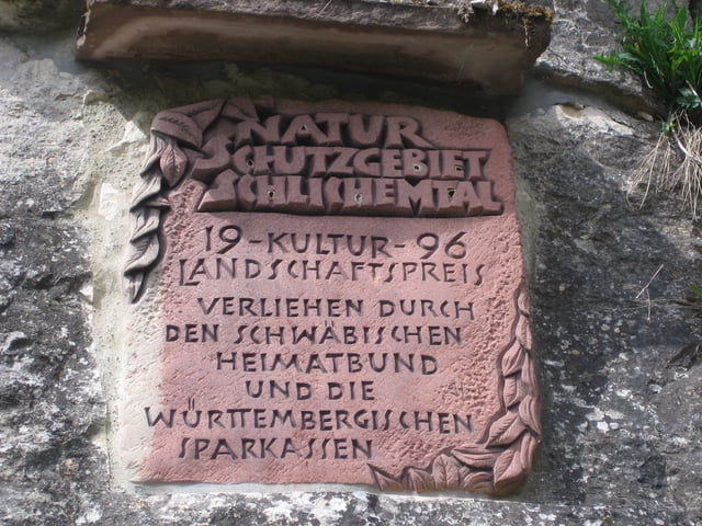
Sehr schöne Wanderung in einer Klamm.

Die reine Wanderzeit beträgt ca. 2,5 Stunden.

Sehr abwechslungsreich und interessant für Jung und Alt.

Natur pur eben ..............

Галерея маршрутов

Карта маршрута и высотный профиль

  • Open Street Map
  • Google
Minimum height 481 m Maximum height 627 m Детальный вид

More about the tour author

Tom19
Member since 2008

Send private message

Комментарии

Startpunkt sind die Sportanlagen von Epfendorf.


Siehe Daten


GPS-Tracks

Trackpoints
  • GPX / Garmin Map Source (gpx) download
  • TCX / Garmin Training Center® (tcx) download
  • CRS / Garmin Training Center® (crs) download
  • Google Earth (kml) download
  • G7ToWin (g7t) download
  • TTQV (trk) download
  • Overlay (ovl) download
  • Fugawi (txt) download
  • Kompass (DAV) Track (tk) download
  • Формуляр маршрута (pdf) download
  • Original file of the author (gpx) download

More about the tour author

Tom19
Member since 2008

Send private message
Share track
Add to my favorites
Remove from my favorites
Edit tags
My score
Rate
Маршрут: Schlichemklamm
Вид: Пешеходный туризм
Длина: 9,8 km
Evaluated on:
Длительность:
Day(s)
Hour(s)
Minute(s)
Оценка: Ландшафт Веселье Кондиция Техника