
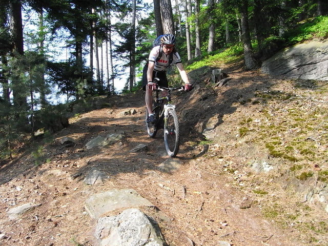

Von Niefern Richtung Büchelberg, weiter Richtung Monakamm, zur Dachsbauhütte nach Hirsau.
Das Schweinbachtal hinauf, Richtung Zainen, Oberlegenhardt, Unterlegenhardt, Bad Liebenzeller Trail.
Über das Monbachtal, Schellbronn und Hohenwarter Turm zurück.
Further information at
http://www.biketreff-niefern.deГалерея маршрутов


Карта маршрута и высотный профиль
Minimum height 240 m
Maximum height 673 m
More about the tour author

|
winklem |
Комментарии

GPS-Tracks
Trackpoints-
GPX / Garmin Map Source (gpx) download
-
TCX / Garmin Training Center® (tcx) download
-
CRS / Garmin Training Center® (crs) download
-
Google Earth (kml) download
-
G7ToWin (g7t) download
-
TTQV (trk) download
-
Overlay (ovl) download
-
Fugawi (txt) download
-
Kompass (DAV) Track (tk) download
-
Формуляр маршрута (pdf) download
-
Original file of the author (gpx) download
More about the tour author
|
|
winklem |
Add to my favorites
Remove from my favorites
Edit tags
Open track
My score
Rate