Login

Забыл пароль?

Cookies have to be accepted!
Your browser's cookie functionality is disabled. Please enable this functionality.

Not a member yet?

Register now
Login

Available for registred users only

Log in to use this feature.

Забыл пароль?

Cookies have to be accepted!
Your browser's cookie functionality is disabled. Please enable this functionality.

Not a member yet?

Register now
Filter
Категории
Advanced filters
  • Длина (км)
  • Высотомер
Сохранить фильтр Reset filter

TrackRank

QRCode

Technical data

Длина5,8 km Высотомер321 m Way down317 m Длительность02:30 h:m Дата07.05.2009
Оценки Author Ландшафт Веселье Кондиция Техника

Статистика

257 Виды Оценки 34 Загрузки Среднее
Rate
  • Формуляр маршрута
  • Дорога
  • Загрузки

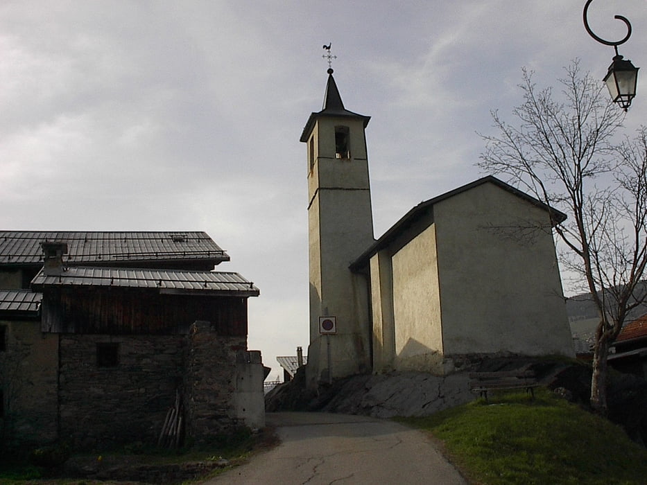
Mooie toer tussen Le Pre en la Planay boven Villaroger. Begin april lag er op het hoogste stuk nog sneeuw.

Parkeermogelijkheid aan de skilift van Villaroger (Le Pre)

Галерея маршрутов

Карта маршрута и высотный профиль

  • Open Street Map
  • Google
Minimum height 1126 m Maximum height 1430 m Детальный вид

More about the tour author

jefhoremans
Member since 2008

Send private message

Комментарии

Parkeermogelijkheid aan de skilift van Villaroger (Le Pre)

GPS-Tracks

Trackpoints
  • GPX / Garmin Map Source (gpx) download
  • TCX / Garmin Training Center® (tcx) download
  • CRS / Garmin Training Center® (crs) download
  • Google Earth (kml) download
  • G7ToWin (g7t) download
  • TTQV (trk) download
  • Overlay (ovl) download
  • Fugawi (txt) download
  • Kompass (DAV) Track (tk) download
  • Формуляр маршрута (pdf) download
  • Original file of the author (gpx) download

More about the tour author

jefhoremans
Member since 2008

Send private message
Share track
Add to my favorites
Remove from my favorites
Edit tags
My score
Rate
Маршрут: Boven Villaroger
Вид: Пешеходный туризм
Длина: 5,8 km
Evaluated on:
Длительность:
Day(s)
Hour(s)
Minute(s)
Оценка: Ландшафт Веселье Кондиция Техника