Login

Забыл пароль?

Cookies have to be accepted!
Your browser's cookie functionality is disabled. Please enable this functionality.

Not a member yet?

Register now
Login

Available for registred users only

Log in to use this feature.

Забыл пароль?

Cookies have to be accepted!
Your browser's cookie functionality is disabled. Please enable this functionality.

Not a member yet?

Register now
Filter
Категории
Advanced filters
  • Длина (км)
  • Высотомер
Сохранить фильтр Reset filter

TrackRank

QRCode

Technical data

Длина13,1 km Высотомер1250 m Way down1065 m Длительность05:00 h:m Дата17.05.2009
Оценки Author Ландшафт Веселье Кондиция Техника

Статистика

2694 Виды Оценки 166 Загрузки Среднее
Rate
  • Формуляр маршрута
  • Дорога
  • Загрузки
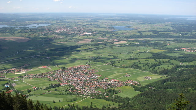
Der alternative Aufstieg zum Heimgarten ohne Massentourismus. Die Gradwanderung bietet tolle Fernblicke. Zur Belohnung kehrt man in Heimgartenhütte ein. Nettodauer: 3:00, Brutto 5:00.

Галерея маршрутов

Карта маршрута и высотный профиль

  • Open Street Map
  • Google
Minimum height 533 m Maximum height 1760 m Детальный вид

More about the tour author

roxidura
Member since 2008

Send private message

Комментарии

Parkplatz im Süden von Ohlstadt vorhanden.

GPS-Tracks

Trackpoints
  • GPX / Garmin Map Source (gpx) download
  • TCX / Garmin Training Center® (tcx) download
  • CRS / Garmin Training Center® (crs) download
  • Google Earth (kml) download
  • G7ToWin (g7t) download
  • TTQV (trk) download
  • Overlay (ovl) download
  • Fugawi (txt) download
  • Kompass (DAV) Track (tk) download
  • Формуляр маршрута (pdf) download
  • Original file of the author (gpx) download

More about the tour author

roxidura
Member since 2008

Send private message
Share track
Add to my favorites
Remove from my favorites
Edit tags
My score
Rate
Маршрут: Von Ohlstadt zum Heimgarten über Rauheck
Вид: Пешеходный туризм
Длина: 13,1 km
Evaluated on:
Длительность:
Day(s)
Hour(s)
Minute(s)
Оценка: Ландшафт Веселье Кондиция Техника