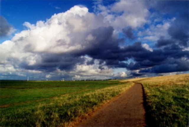
Sehr flache Tour Richtung Osten ins Sietland. Schöne verkehrsarme Straßen. Sehr gut in 2-3 Stunden zu bewältigen.
Further information at
http://www.radundtour.deКарта маршрута и высотный профиль
Minimum height -13 m
Maximum height 18 m
Комментарии
GPS-Tracks
Trackpoints-
GPX / Garmin Map Source (gpx) download
-
TCX / Garmin Training Center® (tcx) download
-
CRS / Garmin Training Center® (crs) download
-
Google Earth (kml) download
-
G7ToWin (g7t) download
-
TTQV (trk) download
-
Overlay (ovl) download
-
Fugawi (txt) download
-
Kompass (DAV) Track (tk) download
-
Формуляр маршрута (pdf) download
-
Original file of the author (g7t) download
Add to my favorites
Remove from my favorites
Edit tags
Open track
My score
Rate


schöne Tour
Alles in allem aber eine schöne Tour.