Login

Забыл пароль?

Cookies have to be accepted!
Your browser's cookie functionality is disabled. Please enable this functionality.

Not a member yet?

Register now
Login

Available for registred users only

Log in to use this feature.

Забыл пароль?

Cookies have to be accepted!
Your browser's cookie functionality is disabled. Please enable this functionality.

Not a member yet?

Register now
Filter
Категории
Advanced filters
  • Длина (км)
  • Высотомер
Сохранить фильтр Reset filter

TrackRank

QRCode

Technical data

Длина27,5 km Высотомер41 m Way down113 m Длительность00:00 h:m Дата24.05.2009
Оценки Author Ландшафт Веселье Кондиция Техника

Статистика

1159 Виды Оценки 60 Загрузки Среднее
Rate
  • Формуляр маршрута
  • Дорога
  • Загрузки

Die Tour beginnt und endet am Ismaninger S-Bahnhof.

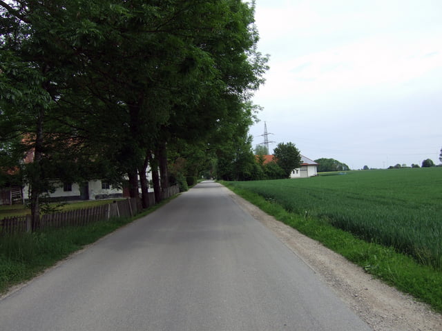
Die geteerten Wege sind in guten Zustand. Einzig neben der BMW Teststrecke geht es etwas ruckelig zu. Teilweise führt die Tour auch auf Autostraßen. Außerhalb Ismanings trifft man jedoch nur sehr wenige Fahrzeuge.

Карта маршрута и высотный профиль

  • Open Street Map
  • Google
Minimum height 485 m Maximum height 569 m Детальный вид

More about the tour author

segreta
Member since 2008

Send private message

Комментарии

GPS-Tracks

Trackpoints
  • GPX / Garmin Map Source (gpx) download
  • TCX / Garmin Training Center® (tcx) download
  • CRS / Garmin Training Center® (crs) download
  • Google Earth (kml) download
  • G7ToWin (g7t) download
  • TTQV (trk) download
  • Overlay (ovl) download
  • Fugawi (txt) download
  • Kompass (DAV) Track (tk) download
  • Формуляр маршрута (pdf) download
  • Original file of the author (gpx) download

More about the tour author

segreta
Member since 2008

Send private message
Share track
Add to my favorites
Remove from my favorites
Edit tags
My score
Rate
Маршрут: Ismaning - Speichersee
Вид: Роликовые коньки
Длина: 27,5 km
Evaluated on:
Длительность:
Day(s)
Hour(s)
Minute(s)
Оценка: Ландшафт Веселье Кондиция Техника