Login

Забыл пароль?

Cookies have to be accepted!
Your browser's cookie functionality is disabled. Please enable this functionality.

Not a member yet?

Register now
Login

Available for registred users only

Log in to use this feature.

Забыл пароль?

Cookies have to be accepted!
Your browser's cookie functionality is disabled. Please enable this functionality.

Not a member yet?

Register now
Filter
Категории
Advanced filters
  • Длина (км)
  • Высотомер
Сохранить фильтр Reset filter

TrackRank

QRCode

Technical data

Длина33,0 km Высотомер780 m Way down m Длительность02:13 h:m Дата21.05.2006
Оценки Author Ландшафт Веселье Кондиция Техника

Статистика

654 Виды Оценки 122 Загрузки Среднее
Rate
  • Формуляр маршрута
  • Дорога
  • Загрузки
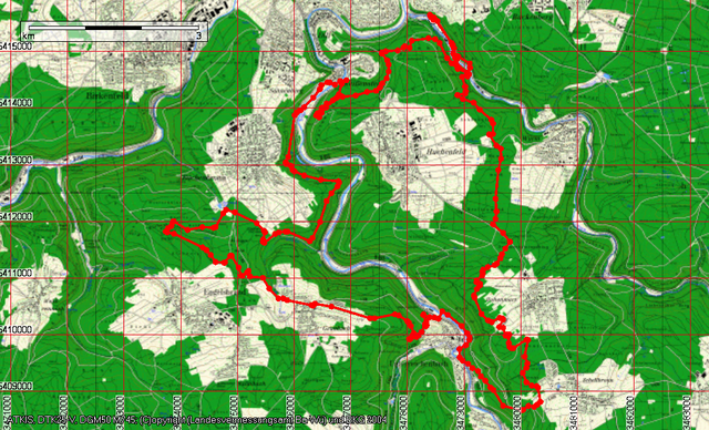
Über den Berg nach Dillweißenstein, Herrmannsee, Mittelweg zum Büchenbronner-Aussichtsturm, Grenzweg nach Grunbach, Wanderweg nach Unterreichenbach, zur Hohen Warte bei Schellbronn, Goldschmiedsdownhill bis zum Lettenbrunnen und weiter ins Würmtal.

Карта маршрута и высотный профиль

  • Open Street Map
  • Google
Minimum height 220 m Maximum height 616 m Детальный вид

More about the tour author

siggi.k.
Member since 2004

Send private message

Комментарии

GPS-Tracks

Trackpoints
  • GPX / Garmin Map Source (gpx) download
  • TCX / Garmin Training Center® (tcx) download
  • CRS / Garmin Training Center® (crs) download
  • Google Earth (kml) download
  • G7ToWin (g7t) download
  • TTQV (trk) download
  • Overlay (ovl) download
  • Fugawi (txt) download
  • Kompass (DAV) Track (tk) download
  • Формуляр маршрута (pdf) download
  • Original file of the author (g7t) download

More about the tour author

siggi.k.
Member since 2004

Send private message
Share track
Add to my favorites
Remove from my favorites
Edit tags
My score
Rate
Маршрут: Mit Pretema Biker zu den 2 Türmen
Вид: Горный велосипед
Длина: 33,0 km
Evaluated on:
Длительность:
Day(s)
Hour(s)
Minute(s)
Оценка: Ландшафт Веселье Кондиция Техника