Login

Забыл пароль?

Cookies have to be accepted!
Your browser's cookie functionality is disabled. Please enable this functionality.

Not a member yet?

Register now
Login

Available for registred users only

Log in to use this feature.

Забыл пароль?

Cookies have to be accepted!
Your browser's cookie functionality is disabled. Please enable this functionality.

Not a member yet?

Register now
Filter
Категории
Advanced filters
  • Длина (км)
  • Высотомер
Сохранить фильтр Reset filter

TrackRank

QRCode

Technical data

Длина27,0 km Высотомер893 m Way down893 m Длительность02:30 h:m Дата27.05.2009
Оценки Author Ландшафт Веселье Кондиция Техника

Статистика

1543 Виды Оценки 244 Загрузки Среднее
Rate
  • Формуляр маршрута
  • Дорога
  • Загрузки
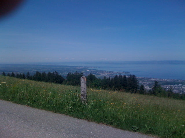
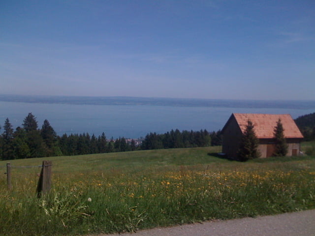
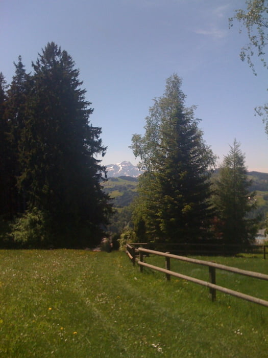
Stadtnahe Tour mit einigen Höhenmetern auf kurzer Distanz. Die Strecken ist fast komplett auf Nebenstrassen, Wald- und Feldwegen und auch ein paar Singletrailpassagen kommen vor.

Галерея маршрутов

Карта маршрута и высотный профиль

  • Open Street Map
  • Google
Minimum height 450 m Maximum height 928 m Детальный вид

More about the tour author

roliwelte
Member since 2009

Send private message

Комментарии

Parkplatz von Abacus / Pizzeria al Covo in Wittenbach

GPS-Tracks

Trackpoints
  • GPX / Garmin Map Source (gpx) download
  • TCX / Garmin Training Center® (tcx) download
  • CRS / Garmin Training Center® (crs) download
  • Google Earth (kml) download
  • G7ToWin (g7t) download
  • TTQV (trk) download
  • Overlay (ovl) download
  • Fugawi (txt) download
  • Kompass (DAV) Track (tk) download
  • Формуляр маршрута (pdf) download
  • Original file of the author (gpx) download

More about the tour author

roliwelte
Member since 2009

Send private message
Share track
Add to my favorites
Remove from my favorites
Edit tags
My score
Rate
Маршрут: Eggersrieter Höhe
Вид: Горный велосипед
Длина: 27,0 km
Evaluated on:
Длительность:
Day(s)
Hour(s)
Minute(s)
Оценка: Ландшафт Веселье Кондиция Техника