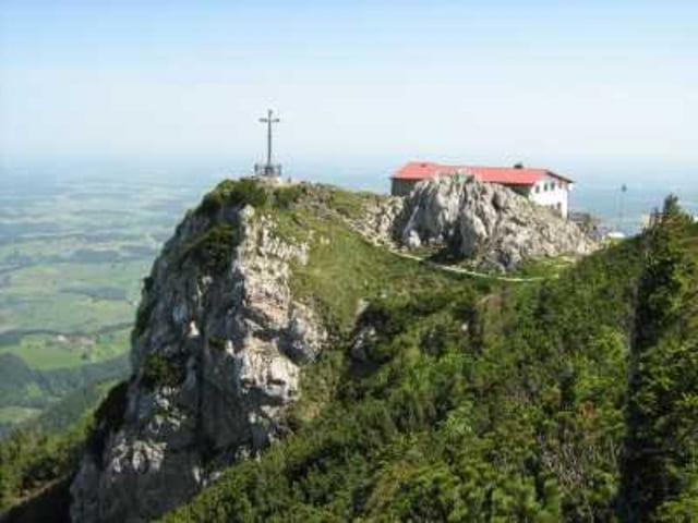
Start ist Haßlberg bei Ruhpolding. Zuerst mal über einen Stacheldrahtzaun klettern, dann steil über einen Forstweg nach oben. Später mal abseits der Wege steil durch den Wald nach oben bis zu einem weiteren Forstweg, von jetzt an ganz einfach bis zum Gipfel.
Карта маршрута и высотный профиль
Minimum height 738 m
Maximum height 1669 m
Комментарии

Über Ruhpolding bis nach Haßlberg (Straße einspurig bis nach Haßlberg oder Glockenschmiede).
GPS-Tracks
Trackpoints-
GPX / Garmin Map Source (gpx) download
-
TCX / Garmin Training Center® (tcx) download
-
CRS / Garmin Training Center® (crs) download
-
Google Earth (kml) download
-
G7ToWin (g7t) download
-
TTQV (trk) download
-
Overlay (ovl) download
-
Fugawi (txt) download
-
Kompass (DAV) Track (tk) download
-
Формуляр маршрута (pdf) download
-
Original file of the author (gpx) download
Add to my favorites
Remove from my favorites
Edit tags
Open track
My score
Rate

