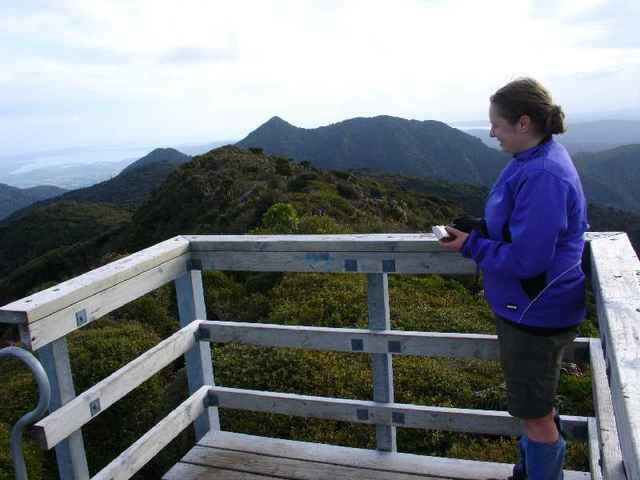
For this trip we went up Mt Pirongia via the Tirohanga Track, stayed the night at the Pahautea Hut and the top and then returned via the Kaniwhaniwa Track.
Галерея маршрутов
Карта маршрута и высотный профиль
Minimum height 73 m
Maximum height 967 m
Комментарии

Grey Rd
GPS-Tracks
Trackpoints-
GPX / Garmin Map Source (gpx) download
-
TCX / Garmin Training Center® (tcx) download
-
CRS / Garmin Training Center® (crs) download
-
Google Earth (kml) download
-
G7ToWin (g7t) download
-
TTQV (trk) download
-
Overlay (ovl) download
-
Fugawi (txt) download
-
Kompass (DAV) Track (tk) download
-
Формуляр маршрута (pdf) download
-
Original file of the author (gpx) download
Add to my favorites
Remove from my favorites
Edit tags
Open track
My score
Rate


