Login

Забыл пароль?

Cookies have to be accepted!
Your browser's cookie functionality is disabled. Please enable this functionality.

Not a member yet?

Register now
Login

Available for registred users only

Log in to use this feature.

Забыл пароль?

Cookies have to be accepted!
Your browser's cookie functionality is disabled. Please enable this functionality.

Not a member yet?

Register now
Filter
Категории
Advanced filters
  • Длина (км)
  • Высотомер
Сохранить фильтр Reset filter

TrackRank

QRCode

Technical data

Длина3,8 km Высотомер547 m Way down15 m Длительность02:30 h:m Дата15.06.2009
Оценки Author Ландшафт Веселье Кондиция Техника

Статистика

657 Виды Оценки 142 Загрузки Среднее
Rate
  • Формуляр маршрута
  • Дорога
  • Загрузки
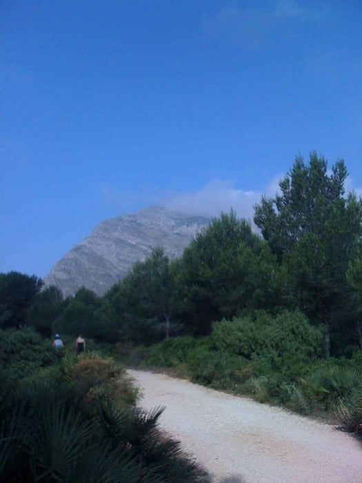
Leicht Wanderung auf den Mongo, es ist unbedingt genügend Wasser/Getränke mit zuführen. Aufstieg ca. 1,5 Std.

Галерея маршрутов

Карта маршрута и высотный профиль

  • Open Street Map
  • Google
Minimum height 211 m Maximum height 760 m Детальный вид

More about the tour author

kitom
Member since 2009

Send private message

Комментарии

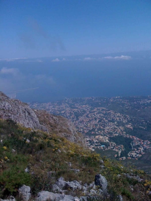
Die Wanderrung beginnt auf der Höhe zwischen Denia und Javea. Parkplatz vorhanden, gute Beschilderung.

GPS-Tracks

Trackpoints
  • GPX / Garmin Map Source (gpx) download
  • TCX / Garmin Training Center® (tcx) download
  • CRS / Garmin Training Center® (crs) download
  • Google Earth (kml) download
  • G7ToWin (g7t) download
  • TTQV (trk) download
  • Overlay (ovl) download
  • Fugawi (txt) download
  • Kompass (DAV) Track (tk) download
  • Формуляр маршрута (pdf) download
  • Original file of the author (gpx) download

More about the tour author

kitom
Member since 2009

Send private message
Share track
Add to my favorites
Remove from my favorites
Edit tags
My score
Rate
Маршрут: Mongo
Вид: Пешеходный туризм
Длина: 3,8 km
Evaluated on:
Длительность:
Day(s)
Hour(s)
Minute(s)
Оценка: Ландшафт Веселье Кондиция Техника