Login

Забыл пароль?

Cookies have to be accepted!
Your browser's cookie functionality is disabled. Please enable this functionality.

Not a member yet?

Register now
Login

Available for registred users only

Log in to use this feature.

Забыл пароль?

Cookies have to be accepted!
Your browser's cookie functionality is disabled. Please enable this functionality.

Not a member yet?

Register now
Filter
Категории
Advanced filters
  • Длина (км)
  • Высотомер
Сохранить фильтр Reset filter

TrackRank

QRCode

Technical data

Длина52,4 km Высотомер982 m Way down998 m Длительность03:30 h:m Дата22.06.2009
Оценки Author Ландшафт Веселье Кондиция Техника

Статистика

153 Виды Оценки 39 Загрузки Среднее
Rate
  • Формуляр маршрута
  • Дорога
  • Загрузки
Heute ging es mal durch die Niederungen des Taunus. Von Kelkheim-Münster über den Eichkopf und den Atzelberg zum Naturfreundehaus. Nach einer Stärkung mit Äppler ging es wieder Richtung Startpunkt. Der Abstecher nach Hofheim war privat bedingt, muss deshalb nicht unbedingt gefahren werden.

Further information at
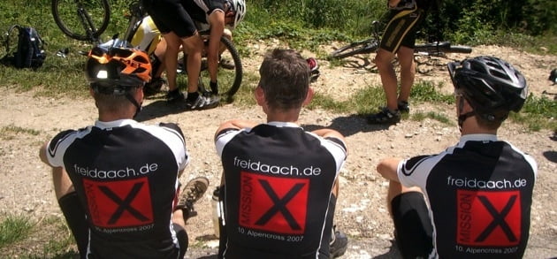
http://www.freidaach.de

Карта маршрута и высотный профиль

  • Open Street Map
  • Google
Minimum height 118 m Maximum height 569 m Детальный вид

More about the tour author

sonnysurf

Комментарии

GPS-Tracks

Trackpoints
  • GPX / Garmin Map Source (gpx) download
  • TCX / Garmin Training Center® (tcx) download
  • CRS / Garmin Training Center® (crs) download
  • Google Earth (kml) download
  • G7ToWin (g7t) download
  • TTQV (trk) download
  • Overlay (ovl) download
  • Fugawi (txt) download
  • Kompass (DAV) Track (tk) download
  • Формуляр маршрута (pdf) download
  • Original file of the author (gpx) download

More about the tour author

sonnysurf

Share track
Add to my favorites
Remove from my favorites
Edit tags
My score
Rate
Маршрут: Freidaach.de-Tour_090619
Вид: Горный велосипед
Длина: 52,4 km
Evaluated on:
Длительность:
Day(s)
Hour(s)
Minute(s)
Оценка: Ландшафт Веселье Кондиция Техника