Login

Забыл пароль?

Cookies have to be accepted!
Your browser's cookie functionality is disabled. Please enable this functionality.

Not a member yet?

Register now
Login

Available for registred users only

Log in to use this feature.

Забыл пароль?

Cookies have to be accepted!
Your browser's cookie functionality is disabled. Please enable this functionality.

Not a member yet?

Register now
Filter
Категории
Advanced filters
  • Длина (км)
  • Высотомер
Сохранить фильтр Reset filter

TrackRank

QRCode

Technical data

Длина40,3 km Высотомер608 m Way down m Длительность05:30 h:m Дата26.06.2009
Оценки Author Ландшафт Веселье Кондиция Техника

Статистика

1149 Виды Оценки 340 Загрузки Среднее
Rate
  • Формуляр маршрута
  • Дорога
  • Загрузки
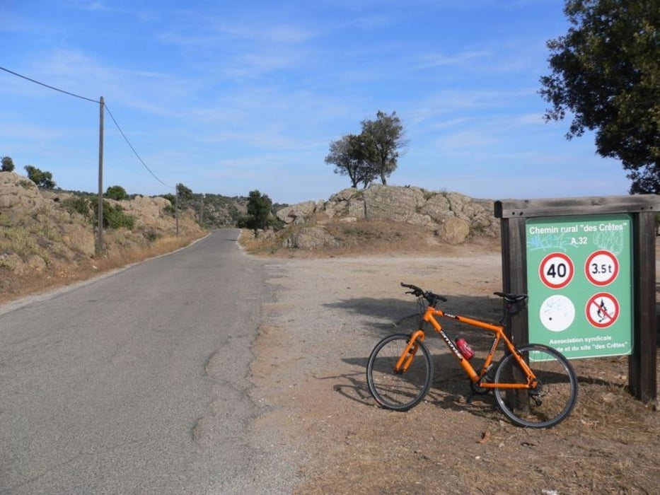
Höhenweg über der Cote Azur. Der Anstieg int sehr anstrengend. Dann verläuft die Straße relativ eben. Rückfahrt am Mittelmeer auf einer stillgelegten Bahntrasse. Am Höhenweg gibt es ein nettes Ausflugslokal. Le Vieux Sauvaire

Галерея маршрутов

Карта маршрута и высотный профиль

  • Open Street Map
  • Google
Minimum height 1 m Maximum height 457 m Детальный вид

More about the tour author

Speroinvidiam
Member since 2009

Send private message

Комментарии

GPS-Tracks

Trackpoints
  • GPX / Garmin Map Source (gpx) download
  • TCX / Garmin Training Center® (tcx) download
  • CRS / Garmin Training Center® (crs) download
  • Google Earth (kml) download
  • G7ToWin (g7t) download
  • TTQV (trk) download
  • Overlay (ovl) download
  • Fugawi (txt) download
  • Kompass (DAV) Track (tk) download
  • Формуляр маршрута (pdf) download
  • Original file of the author (gpx) download

More about the tour author

Speroinvidiam
Member since 2009

Send private message
Share track
Add to my favorites
Remove from my favorites
Edit tags
My score
Rate
Маршрут: Route de Cretes Cavaliere
Вид: Горный велосипед
Длина: 40,3 km
Evaluated on:
Длительность:
Day(s)
Hour(s)
Minute(s)
Оценка: Ландшафт Веселье Кондиция Техника