Login

Забыл пароль?

Cookies have to be accepted!
Your browser's cookie functionality is disabled. Please enable this functionality.

Not a member yet?

Register now
Login

Available for registred users only

Log in to use this feature.

Забыл пароль?

Cookies have to be accepted!
Your browser's cookie functionality is disabled. Please enable this functionality.

Not a member yet?

Register now
Filter
Категории
Advanced filters
  • Длина (км)
  • Высотомер
Сохранить фильтр Reset filter

TrackRank

QRCode

Technical data

Длина59,8 km Высотомер3315 m Way down m Длительность00:00 h:m Дата15.07.2009
Оценки Author Ландшафт Веселье Кондиция Техника

Статистика

722 Виды Оценки 212 Загрузки Среднее
Rate
  • Формуляр маршрута
  • Дорога
  • Загрузки
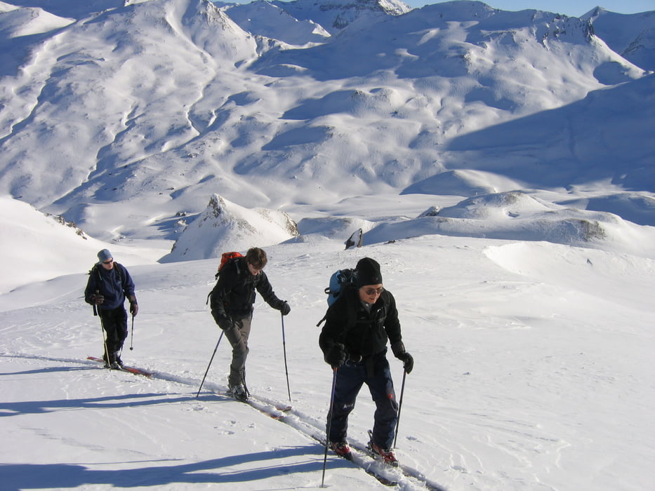
Vier dagen skiën in de buurt van de HEIDELBERGERHUTTE

Галерея маршрутов

Карта маршрута и высотный профиль

  • Open Street Map
  • Google
Minimum height 1357 m Maximum height 3088 m Детальный вид

More about the tour author

RobertW
Member since 2008

Send private message

Комментарии

Vanuit Ischgl eventueel met de sneeuwkat naar de hut (spaart een dag)

GPS-Tracks

Trackpoints
  • GPX / Garmin Map Source (gpx) download
  • TCX / Garmin Training Center® (tcx) download
  • CRS / Garmin Training Center® (crs) download
  • Google Earth (kml) download
  • G7ToWin (g7t) download
  • TTQV (trk) download
  • Overlay (ovl) download
  • Fugawi (txt) download
  • Kompass (DAV) Track (tk) download
  • Формуляр маршрута (pdf) download
  • Original file of the author (gpx) download

More about the tour author

RobertW
Member since 2008

Send private message
Share track
Add to my favorites
Remove from my favorites
Edit tags
My score
Rate
Маршрут: Tourskiën rond de Heidelbergerhutte
Вид: Лыжи
Длина: 59,8 km
Evaluated on:
Длительность:
Day(s)
Hour(s)
Minute(s)
Оценка: Ландшафт Веселье Кондиция Техника