


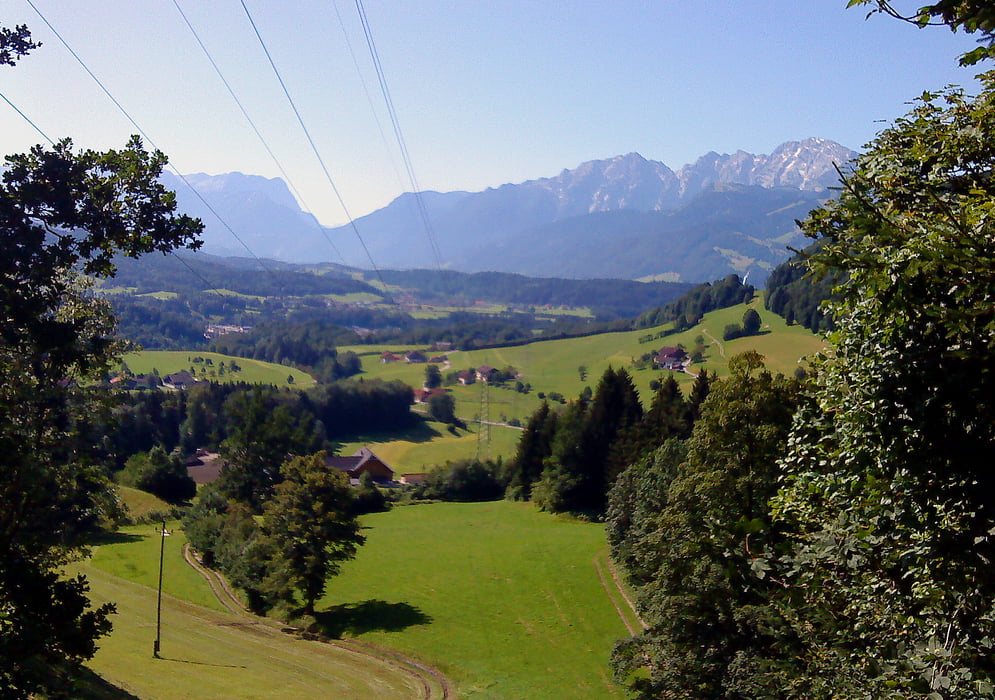
Ich habe diese Tour Gaisbergrunde genannt weil man den Gaisberg sozusagen umrundet und den Gaisbergsender fast immer im Blick hat.
Diese Tour ist für Fahhräder jeder Art machbar. (Ausgenommen Spezial - Rennräder). Ein ganz normales Trekkingrad reicht vollkommenaus. Einzig die Strecke am Klausweg (nach Koppl) ist für ca 800m etwas grob und eine kurze Bachdurchquerung ist notwendig. (Aber überhaupt kein Problem - außer bei Hochwasser)
Einkehr Möglichkeiten gibt es einige, hervorheben möchte ich den Bio Gasthof "Schützenwirt" in St. Jakob am Thurn. - schön gelegen , gute Kost.
Die Tour ist sehr abwechslungsreich und bietet wunderschöne Aussichten auf Stadt und Land Salzburg!
Die Tour wurde mit dem TOP Gerät für Fahrradfahrer dem Garmin Edge 705 + Topo Österreich aufgezeichnet.
----------------------
Hinweis: Bitte beachten Sie evtl. Fahrverbotsschilder und nehmen Sie Rücksicht auf die Natur.
Further information at
http://www.satcom.at/radtourenГалерея маршрутов


Карта маршрута и высотный профиль
Minimum height 422 m
Maximum height 798 m
More about the tour author
|
|
GarminSalzburg |
Комментарии
Es gibt viele Einstiegsmöglichkeiten in diese Tour. Ich bin beim Golfclub in Eugendorf gestartet.
GPS-Tracks
Trackpoints-
GPX / Garmin Map Source (gpx) download
-
TCX / Garmin Training Center® (tcx) download
-
CRS / Garmin Training Center® (crs) download
-
Google Earth (kml) download
-
G7ToWin (g7t) download
-
TTQV (trk) download
-
Overlay (ovl) download
-
Fugawi (txt) download
-
Kompass (DAV) Track (tk) download
-
Формуляр маршрута (pdf) download
-
Original file of the author (gpx) download
More about the tour author
|
|
GarminSalzburg |
Add to my favorites
Remove from my favorites
Edit tags
Open track
My score
Rate
Excellent tour
Thanks for a beautiful day!
If you are in Salzburg once again I can give you some insider tips of our beautiful country if you like. Lofer in Pinzgau region for example is a beautiful place. By the wax - there we rent a holiday home. (www.loferurlaub.at)
So once again thank you!