


Date: July 19, 2009
Ascent: 830 m
Descent: 305 m
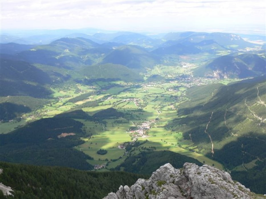
Start: Losenheim Sesselbahn mountain station (1267 m)
Finish: Station Hochschneeberg (1794 m)
Highest point: 2056 m (Fischerhütte)
Places to eat and drink:
Edelweisshütte (at the starting point)
Fischerhütte (at the top)
Damböckhaus
Station Hochschneeberg
There is a special ticket you can buy, that includes: one ride with the Losenheim cable car, one ride with the Schneebergbahn, EUR 7 voucher for any of the mountain huts on Schneeberg.
Further information at
http://www.beepee.hu/v/turak/schneeberg0907/Галерея маршрутов

Карта маршрута и высотный профиль
Minimum height 1262 m
Maximum height 2058 m
More about the tour author
|
|
beepee |
Комментарии

GPS-Tracks
Trackpoints-
GPX / Garmin Map Source (gpx) download
-
TCX / Garmin Training Center® (tcx) download
-
CRS / Garmin Training Center® (crs) download
-
Google Earth (kml) download
-
G7ToWin (g7t) download
-
TTQV (trk) download
-
Overlay (ovl) download
-
Fugawi (txt) download
-
Kompass (DAV) Track (tk) download
-
Формуляр маршрута (pdf) download
-
Original file of the author (gpx) download
More about the tour author
|
|
beepee |
Add to my favorites
Remove from my favorites
Edit tags
Open track
My score
Rate