Login

Забыл пароль?

Cookies have to be accepted!
Your browser's cookie functionality is disabled. Please enable this functionality.

Not a member yet?

Register now
Login

Available for registred users only

Log in to use this feature.

Забыл пароль?

Cookies have to be accepted!
Your browser's cookie functionality is disabled. Please enable this functionality.

Not a member yet?

Register now
Filter
Категории
Advanced filters
  • Длина (км)
  • Высотомер
Сохранить фильтр Reset filter

TrackRank

QRCode

Technical data

Длина40,7 km Высотомер417 m Way down m Длительность03:00 h:m Дата08.08.2009
Оценки Author Ландшафт Веселье Кондиция Техника

Статистика

372 Виды Оценки 53 Загрузки Среднее
Rate
  • Формуляр маршрута
  • Дорога
  • Загрузки
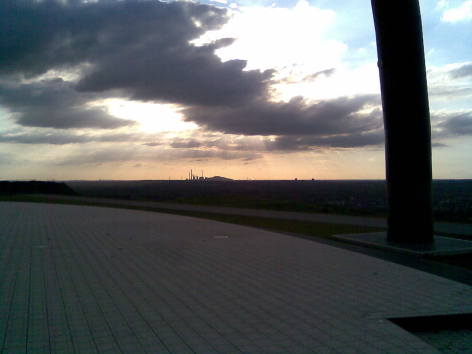
schöne Runde am Kanal und dann über die Halde Hohe Ward, um die Aussicht zu genießen. Dann geht es weiter Richtung Ge- Buer, wo der Berger See wartet. Von dort geht es dann wieder Richtung Kanal, um den Buga-Park zu erreichen ( unseren Ausgangspunkt ).

Галерея маршрутов

Карта маршрута и высотный профиль

  • Open Street Map
  • Google
Minimum height 2 m Maximum height 148 m Детальный вид

More about the tour author

Hallo-Andre
Member since 2008

Send private message

Комментарии

GPS-Tracks

Trackpoints
  • GPX / Garmin Map Source (gpx) download
  • TCX / Garmin Training Center® (tcx) download
  • CRS / Garmin Training Center® (crs) download
  • Google Earth (kml) download
  • G7ToWin (g7t) download
  • TTQV (trk) download
  • Overlay (ovl) download
  • Fugawi (txt) download
  • Kompass (DAV) Track (tk) download
  • Формуляр маршрута (pdf) download
  • Original file of the author (gpx) download

More about the tour author

Hallo-Andre
Member since 2008

Send private message
Share track
Add to my favorites
Remove from my favorites
Edit tags
My score
Rate
Маршрут: Take it easy ( und genieß die Aussicht )...
Вид: Велосипедные маршруты
Длина: 40,7 km
Evaluated on:
Длительность:
Day(s)
Hour(s)
Minute(s)
Оценка: Ландшафт Веселье Кондиция Техника