Login

Забыл пароль?

Cookies have to be accepted!
Your browser's cookie functionality is disabled. Please enable this functionality.

Not a member yet?

Register now
Login

Available for registred users only

Log in to use this feature.

Забыл пароль?

Cookies have to be accepted!
Your browser's cookie functionality is disabled. Please enable this functionality.

Not a member yet?

Register now
Filter
Категории
Advanced filters
  • Длина (км)
  • Высотомер
Сохранить фильтр Reset filter

TrackRank

QRCode

Technical data

Длина10,5 km Высотомер224 m Way down391 m Длительность02:15 h:m Дата09.08.2009
Оценки Author Ландшафт Веселье Кондиция Техника

Статистика

2834 Виды 1 Оценка 102 Загрузки 5.00 Среднее
Rate
  • Формуляр маршрута
  • Дорога
  • Загрузки

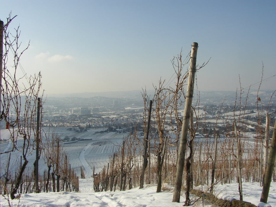
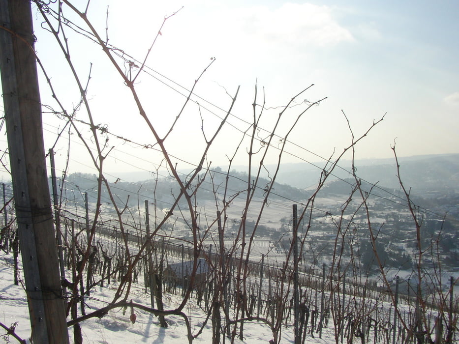
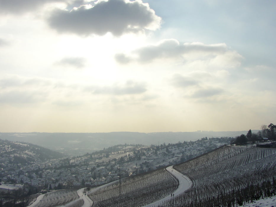
Schöne Ganzjahrestour von Fellbach über den Kappelberg und Rotenberg nach Untertürkheim. Sie bietet schöne Blicke über das Neckartal und die Grabkapelle auf dem Württemberg. Startpunkt ist die Endhaltestelle der Stadtbahn U1. Ende ist die Haltestelle der Stadtbahn U 13 oder U4 Untertürkheim.  

Галерея маршрутов

Карта маршрута и высотный профиль

  • Open Street Map
  • Google
Minimum height 205 m Maximum height 459 m Детальный вид

More about the tour author

Seili
Member since 2008

Send private message

Комментарии

GPS-Tracks

Trackpoints
  • GPX / Garmin Map Source (gpx) download
  • TCX / Garmin Training Center® (tcx) download
  • CRS / Garmin Training Center® (crs) download
  • Google Earth (kml) download
  • G7ToWin (g7t) download
  • TTQV (trk) download
  • Overlay (ovl) download
  • Fugawi (txt) download
  • Kompass (DAV) Track (tk) download
  • Формуляр маршрута (pdf) download
  • Original file of the author (gpx) download

More about the tour author

Seili
Member since 2008

Send private message
Share track
Add to my favorites
Remove from my favorites
Edit tags
My score
Rate
Маршрут: Von Fellbach nach Untertürkheim
Вид: Пешеходный туризм
Длина: 10,5 km
Evaluated on:
Длительность:
Day(s)
Hour(s)
Minute(s)
Оценка: Ландшафт Веселье Кондиция Техника