Login

Забыл пароль?

Cookies have to be accepted!
Your browser's cookie functionality is disabled. Please enable this functionality.

Not a member yet?

Register now
Login

Available for registred users only

Log in to use this feature.

Забыл пароль?

Cookies have to be accepted!
Your browser's cookie functionality is disabled. Please enable this functionality.

Not a member yet?

Register now
Filter
Категории
Advanced filters
  • Длина (км)
  • Высотомер
Сохранить фильтр Reset filter

TrackRank

QRCode

Technical data

Длина17,9 km Высотомер1189 m Way down1187 m Длительность06:45 h:m Дата21.08.2009
Оценки Author Ландшафт Веселье Кондиция Техника

Статистика

1378 Виды Оценки 142 Загрузки Среднее
Rate
  • Формуляр маршрута
  • Дорога
  • Загрузки

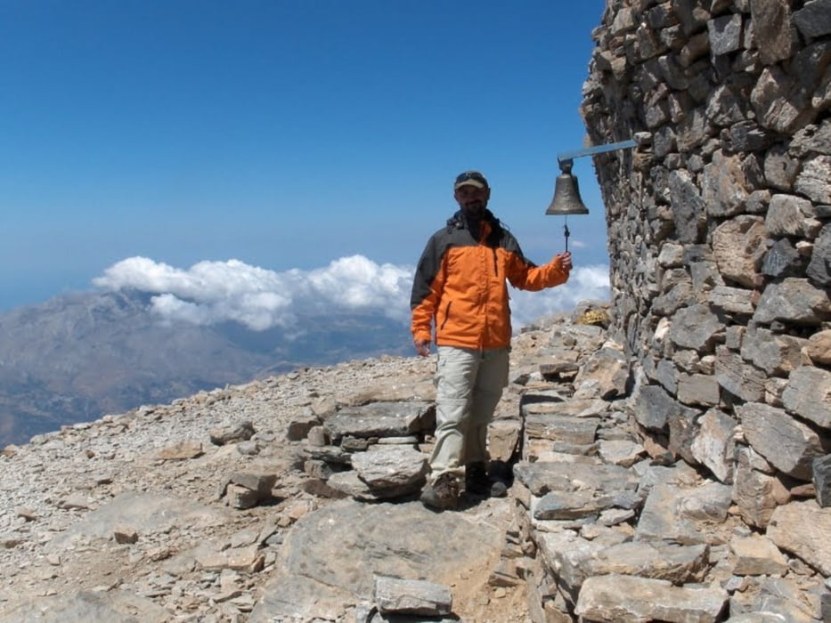
Byla to bezva tura. Cas vystupu 03:30 (nevěděl jsem, jak dlouho to půjdem a tak jsme skoro běžely :-), sestup 03:15 povídali jsme a fotili ... pohodička


Карта маршрута и высотный профиль

  • Open Street Map
  • Google
Minimum height 1416 m Maximum height 2463 m Детальный вид

More about the tour author

petso
Member since 2009

Send private message

Комментарии

GPS-Tracks

Trackpoints
  • GPX / Garmin Map Source (gpx) download
  • TCX / Garmin Training Center® (tcx) download
  • CRS / Garmin Training Center® (crs) download
  • Google Earth (kml) download
  • G7ToWin (g7t) download
  • TTQV (trk) download
  • Overlay (ovl) download
  • Fugawi (txt) download
  • Kompass (DAV) Track (tk) download
  • Формуляр маршрута (pdf) download
  • Original file of the author (gpx) download

More about the tour author

petso
Member since 2009

Send private message
Share track
Add to my favorites
Remove from my favorites
Edit tags
My score
Rate
Маршрут: Psiloritis
Вид: Горный маршрут
Длина: 17,9 km
Evaluated on:
Длительность:
Day(s)
Hour(s)
Minute(s)
Оценка: Ландшафт Веселье Кондиция Техника