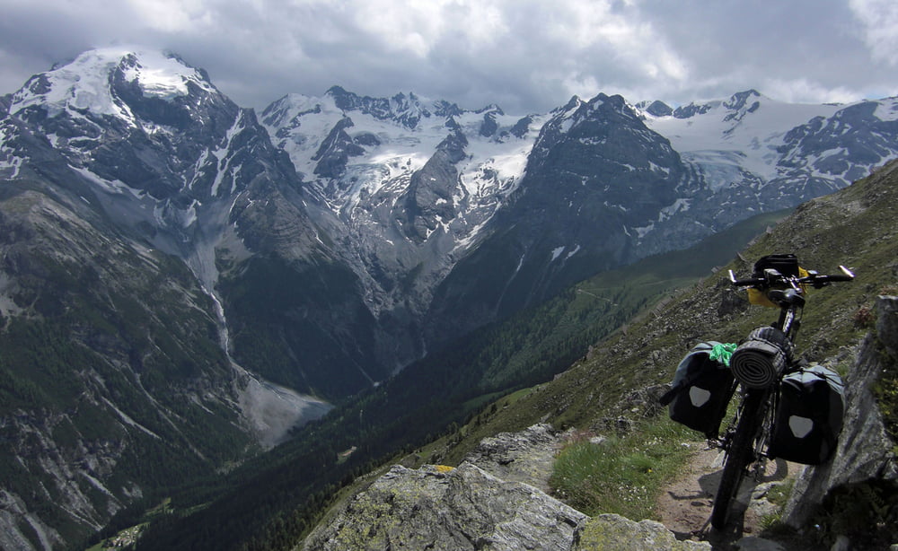
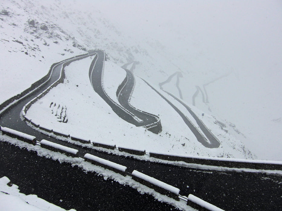
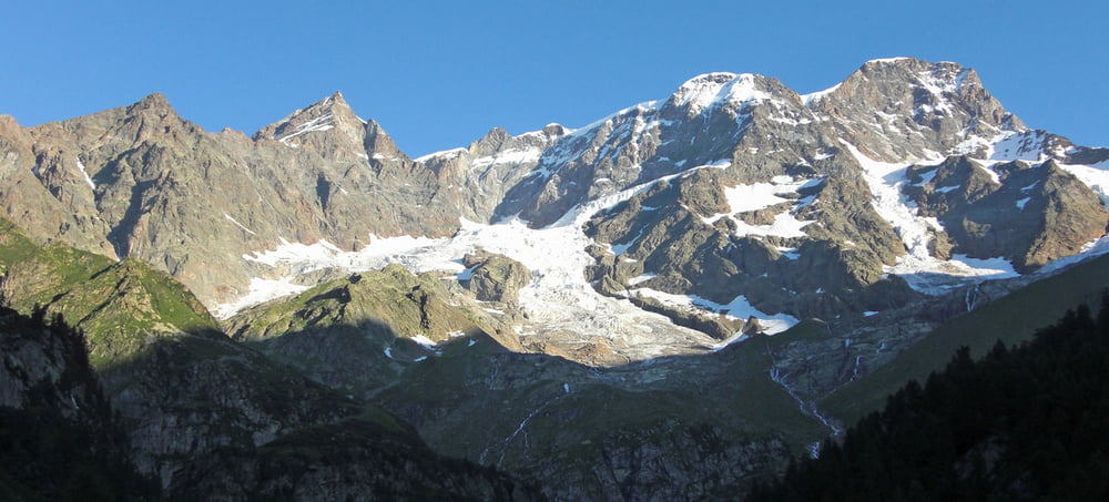
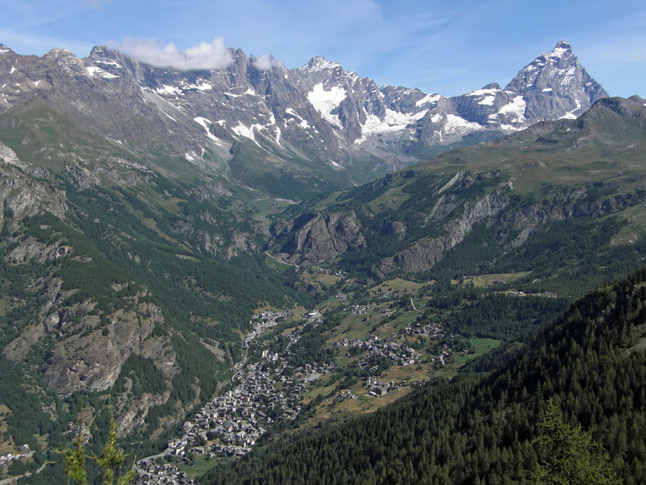
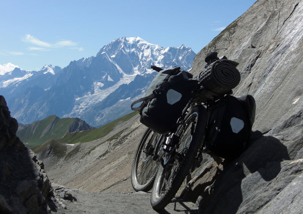
Travesía de los Alpes de este a oeste, que une Trieste (Adriático en la frontera entre Italia y Eslovenia) y Ventimiglia (Mediterráneo en la frontera entre Italia y Francia). Circula por cinco países (Italia principalmente pero también se adentra en Eslovenia, Austria, Suiza y Francia). Pasa por o cerca de muchos de los macizos montañosos más conocidos (Alpes Julianos, Alpes Cárnicos, Dolomitas - Sesto, alta Pusteria, Fanes, Senes, Alta Badia, Val di Fassa y Brenta- Adamello-Pressanella, Ortler, Valtellina, Engadina, Bernina y Bregaglia, Sondrio, lagos de Como y Maggiore, Monte Rosa, Mont Blanc, Gran Paradiso, Monviso, Alpes Marítimos y Mercantour).
Me he basado en una ruta realizada por Claudio Coppola en el 2005, que aparece descrito en la guía "Alpe Bike. Per sentieri e mulattiere da Trieste a Ventimiglia" Blu Edizioni.
Recorrido realizado en solitario en 43 días (del 4 de julio al 15 de agosto de 2009). Son unos 2.100 kilómetros y cerca de 60.000 metros de desnivel (media diaria: 50 km. y 1.400 m.) por todo tipo de terreno (aproximadamente 60 % pista y sendero y 40% asfalto; el 90 % ciclable). Hay bastantes tramos de sendero de montaña que requieren empujar o portear la bici. He evitado algún tramo de carretera peligros inevitable utilizando medios mecánicos (Funivía Mendola y tren Locarno-St. María Maggiore).
Coincide en muchos tramos con la Vía Alpina, Alta Vía Cárnica, Tour del Monte Rosa, Tour del Mont Blanc, Alta Vía del Valle de aosta y la Vía de la Sale. Cruza collados por encima de los 2.500 metros (Tarscher, Stelvio, Cassana, Turlo, Salati, Bettforca, Nana, Malatrà, Chavannes, Chivasso, Longia y Sibolet).Aprovecha algunas vías cicloturísticas como Karnicher Radweg, Drauradweg, Inn radweg, Val di Sole y Val Venosta.
Cicloturismo de montaña en estado puro. El sueño de todo biker de atravesar todos los Alpes con su bici.
Fotos en:
http://picasaweb.google.es/zinaztli/AlpiBike1TravesiaDeLosAlpesEnBTTTriesteVentimiglia#
http://picasaweb.google.es/zinaztli/AlpiBike2TravesiaDeLosAlpesEnBTTTriesteVentimiglia#
Más información en:
http://zinaztli.blogspot.com/search/label/Alpi%20Bike
Галерея маршрутов
Карта маршрута и высотный профиль
Комментарии

GPS-Tracks
Trackpoints-
GPX / Garmin Map Source (gpx) download
-
TCX / Garmin Training Center® (tcx) download
-
CRS / Garmin Training Center® (crs) download
-
Google Earth (kml) download
-
G7ToWin (g7t) download
-
TTQV (trk) download
-
Overlay (ovl) download
-
Fugawi (txt) download
-
Kompass (DAV) Track (tk) download
-
Формуляр маршрута (pdf) download
-
Original file of the author (gpx) download

