
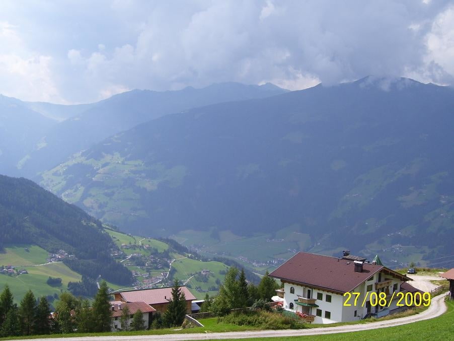

Wir sind zum Enzianhof (ca. 400 hm ) mit dem Auto hoch gefahren und ab da gestartet. Man kann auch mit der Kreuzjochbahn hochfahren und von der Mittelstation starten.
Die ersten ca. 400 hm auf der Teerstraße sind wircklich heftig.
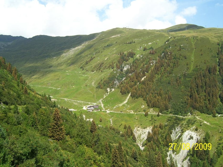
Die Panoramatour verläuft zuerst im Skigebiet Hochzillertal mit sehr schönen Ausblicken ins Zillertal sowie Gerlos und den umliegenden Bergen .
Wir konnten die Tour nicht ganz ausfahren da sich eine Gewittwerfront bildete.
Галерея маршрутов


Карта маршрута и высотный профиль
Minimum height 1224 m
Maximum height 1938 m
More about the tour author

|
bmwmai |
Комментарии

GPS-Tracks
Trackpoints-
GPX / Garmin Map Source (gpx) download
-
TCX / Garmin Training Center® (tcx) download
-
CRS / Garmin Training Center® (crs) download
-
Google Earth (kml) download
-
G7ToWin (g7t) download
-
TTQV (trk) download
-
Overlay (ovl) download
-
Fugawi (txt) download
-
Kompass (DAV) Track (tk) download
-
Формуляр маршрута (pdf) download
-
Original file of the author (gpx) download
More about the tour author
|
|
bmwmai |
Add to my favorites
Remove from my favorites
Edit tags
Open track
My score
Rate