Login

Забыл пароль?

Cookies have to be accepted!
Your browser's cookie functionality is disabled. Please enable this functionality.

Not a member yet?

Register now
Login

Available for registred users only

Log in to use this feature.

Забыл пароль?

Cookies have to be accepted!
Your browser's cookie functionality is disabled. Please enable this functionality.

Not a member yet?

Register now
Filter
Категории
Advanced filters
  • Длина (км)
  • Высотомер
Сохранить фильтр Reset filter

TrackRank

QRCode

Technical data

Длина5,5 km Высотомер141 m Way down147 m Длительность01:30 h:m Дата03.09.2009
Оценки Author Ландшафт Веселье Кондиция Техника

Статистика

440 Виды Оценки 20 Загрузки Среднее
Rate
  • Формуляр маршрута
  • Дорога
  • Загрузки

Sehr schöne Wanderung vom Campingplatz aus.

Geht erst durch einen kleinen Wald mit interessanten Bäumen und dann über Dünnen zurück.


(Man braucht die GPS Datei eigentlich nicht, der Weg ist beschildert, aber so findet man ihn eben am besten)

Карта маршрута и высотный профиль

  • Open Street Map
  • Google
Minimum height Maximum height 151 m Детальный вид

More about the tour author

schuh
Member since 2008

Send private message

Комментарии

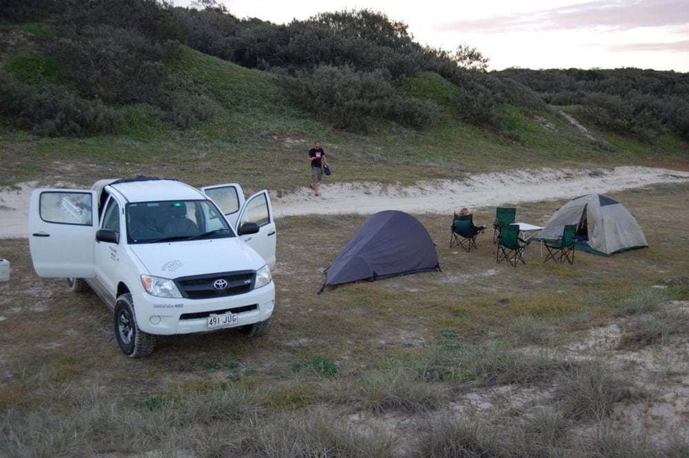
Fraser Island Ostküste, recht weit im Norden von einem Campingplatz aus startend.

GPS-Tracks

Trackpoints
  • GPX / Garmin Map Source (gpx) download
  • TCX / Garmin Training Center® (tcx) download
  • CRS / Garmin Training Center® (crs) download
  • Google Earth (kml) download
  • G7ToWin (g7t) download
  • TTQV (trk) download
  • Overlay (ovl) download
  • Fugawi (txt) download
  • Kompass (DAV) Track (tk) download
  • Формуляр маршрута (pdf) download
  • Original file of the author (gpx) download

More about the tour author

schuh
Member since 2008

Send private message
Share track
Add to my favorites
Remove from my favorites
Edit tags
My score
Rate
Маршрут: Dünnenwanderung
Вид: Пешеходный туризм
Длина: 5,5 km
Evaluated on:
Длительность:
Day(s)
Hour(s)
Minute(s)
Оценка: Ландшафт Веселье Кондиция Техника