Login

Забыл пароль?

Cookies have to be accepted!
Your browser's cookie functionality is disabled. Please enable this functionality.

Not a member yet?

Register now
Login

Available for registred users only

Log in to use this feature.

Забыл пароль?

Cookies have to be accepted!
Your browser's cookie functionality is disabled. Please enable this functionality.

Not a member yet?

Register now
Filter
Категории
Advanced filters
  • Длина (км)
  • Высотомер
Сохранить фильтр Reset filter

TrackRank

QRCode

Technical data

Длина14,2 km Высотомер85 m Way down85 m Длительность00:40 h:m Дата06.09.2009
Оценки Author Ландшафт Веселье Кондиция Техника

Статистика

404 Виды Оценки 33 Загрузки Среднее
Rate
  • Формуляр маршрута
  • Дорога
  • Загрузки
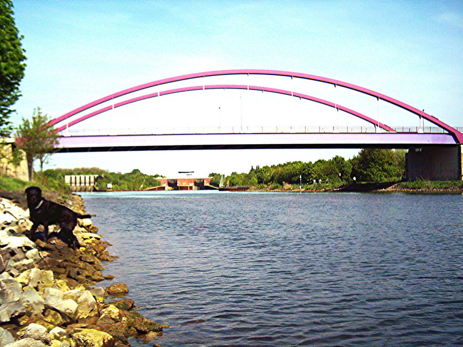
Eine einfache und kurze Tour, die entlang des Rhein-Herne-Kanals, dem Schloss Bladenhorst und dem Teutoburgiahof zurück zum Herner Stadtgarten führt.

Галерея маршрутов

Карта маршрута и высотный профиль

  • Open Street Map
  • Google
Minimum height 37 m Maximum height 70 m Детальный вид

More about the tour author

heiko-wienecke
Member since 2009

Send private message

Комментарии

Start- und Endpunkt der Stadtgarten Herne.

GPS-Tracks

Trackpoints
  • GPX / Garmin Map Source (gpx) download
  • TCX / Garmin Training Center® (tcx) download
  • CRS / Garmin Training Center® (crs) download
  • Google Earth (kml) download
  • G7ToWin (g7t) download
  • TTQV (trk) download
  • Overlay (ovl) download
  • Fugawi (txt) download
  • Kompass (DAV) Track (tk) download
  • Формуляр маршрута (pdf) download
  • Original file of the author (gpx) download

More about the tour author

heiko-wienecke
Member since 2009

Send private message
Share track
Add to my favorites
Remove from my favorites
Edit tags
My score
Rate
Маршрут: Herne: Stadtgarten - Schloss Bladenhorst
Вид: Трековый велосипед
Длина: 14,2 km
Evaluated on:
Длительность:
Day(s)
Hour(s)
Minute(s)
Оценка: Ландшафт Веселье Кондиция Техника