Login

Забыл пароль?

Cookies have to be accepted!
Your browser's cookie functionality is disabled. Please enable this functionality.

Not a member yet?

Register now
Login

Available for registred users only

Log in to use this feature.

Забыл пароль?

Cookies have to be accepted!
Your browser's cookie functionality is disabled. Please enable this functionality.

Not a member yet?

Register now
Filter
Категории
Advanced filters
  • Длина (км)
  • Высотомер
Сохранить фильтр Reset filter

TrackRank

QRCode

Technical data

Длина4,0 km Высотомер188 m Way down203 m Длительность00:00 h:m Дата13.09.2009
Оценки Author Ландшафт Веселье Кондиция Техника

Статистика

3519 Виды Оценки 146 Загрузки Среднее
Rate
  • Формуляр маршрута
  • Дорога
  • Загрузки

Die Tour starte und endet in Riol am Campingplatz.


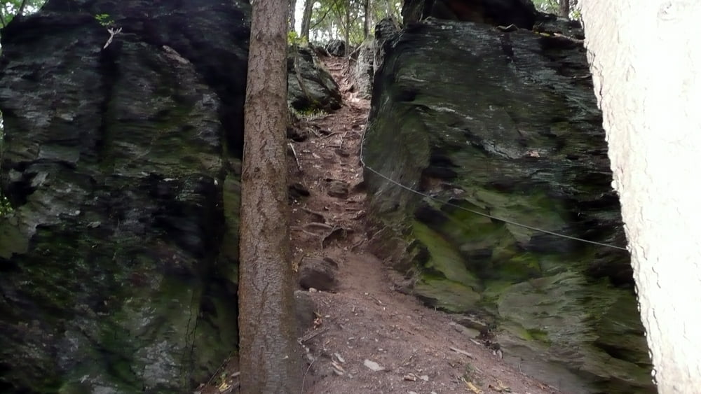
Der Aufstieg zur knapp 200m höher liegenden Felsenklippe am„Kumer Knüppchen 322m ü. NN“ führt über einen Felsenweg durch die Schlucht amMolesbach. Oben angekommen wird man mit einem herrlichen Panoramablick über die Rioler und Mehringer Moseltal belohnt.


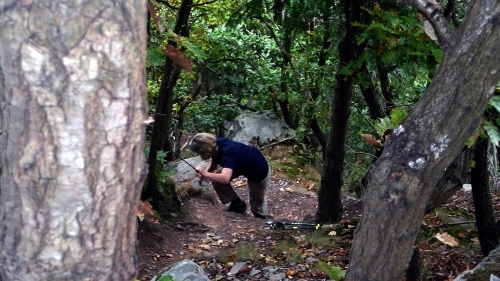
Es gibt am Anfang mehre Möglichkeiten die Felsenklippe zu erreichen!


Trittsicherheit und feste Schuhe erforderlich.                                                                                                                              

Галерея маршрутов

Карта маршрута и высотный профиль

  • Open Street Map
  • Google
Minimum height 132 m Maximum height 328 m Детальный вид

More about the tour author

Biker-Tommy
Member since 2009

Send private message

Комментарии

GPS-Tracks

Trackpoints
  • GPX / Garmin Map Source (gpx) download
  • TCX / Garmin Training Center® (tcx) download
  • CRS / Garmin Training Center® (crs) download
  • Google Earth (kml) download
  • G7ToWin (g7t) download
  • TTQV (trk) download
  • Overlay (ovl) download
  • Fugawi (txt) download
  • Kompass (DAV) Track (tk) download
  • Формуляр маршрута (pdf) download
  • Original file of the author (gpx) download

More about the tour author

Biker-Tommy
Member since 2009

Send private message
Share track
Add to my favorites
Remove from my favorites
Edit tags
My score
Rate
Маршрут: Rioler Klettersteig
Вид: Пешеходный туризм
Длина: 4,0 km
Evaluated on:
Длительность:
Day(s)
Hour(s)
Minute(s)
Оценка: Ландшафт Веселье Кондиция Техника