
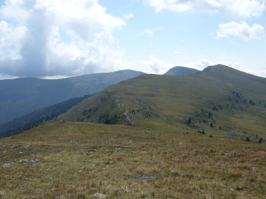

It is a beautiful trip. You climb 4 mountain peak: Kreischberg (1981m), Rosenkranzhöhe (2118m), Kirbisch (2140m) and Goldachnock (2171m). After the peaks, you go down to the Hauserersee and back to St. Lorenzen ob Murau.
Further information at
http://picasaweb.google.com/endre.fekete/AusztriaiNyaralas2Nap?feat=directlinkГалерея маршрутов


Карта маршрута и высотный профиль
Minimum height 858 m
Maximum height 2177 m
More about the tour author
|
|
andrew85 |
Комментарии

Starting point is St. Lorenzen ob Murau. You can travel to the funicular by train or car. Funicular go up from 850 m to 1750 m above sea level.
GPS-Tracks
Trackpoints-
GPX / Garmin Map Source (gpx) download
-
TCX / Garmin Training Center® (tcx) download
-
CRS / Garmin Training Center® (crs) download
-
Google Earth (kml) download
-
G7ToWin (g7t) download
-
TTQV (trk) download
-
Overlay (ovl) download
-
Fugawi (txt) download
-
Kompass (DAV) Track (tk) download
-
Формуляр маршрута (pdf) download
-
Original file of the author (gpx) download
More about the tour author
|
|
andrew85 |
Add to my favorites
Remove from my favorites
Edit tags
Open track
My score
Rate