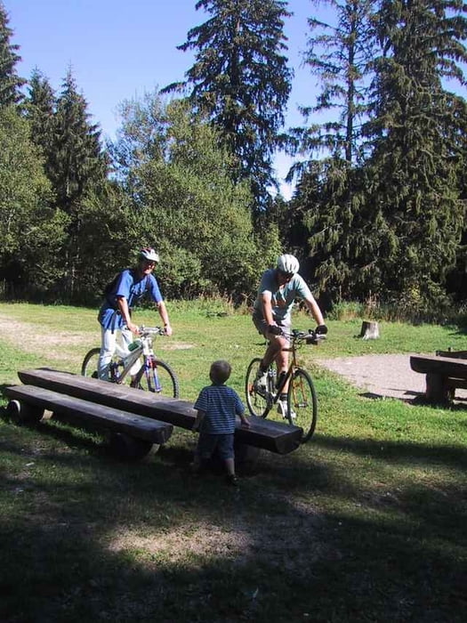
Von Titisee über Hinterzarten zum Feldberg. Zurück durch das Bärental nach Titisee.
Карта маршрута и высотный профиль
Minimum height 849 m
Maximum height 1389 m
Комментарии
GPS-Tracks
Trackpoints-
GPX / Garmin Map Source (gpx) download
-
TCX / Garmin Training Center® (tcx) download
-
CRS / Garmin Training Center® (crs) download
-
Google Earth (kml) download
-
G7ToWin (g7t) download
-
TTQV (trk) download
-
Overlay (ovl) download
-
Fugawi (txt) download
-
Kompass (DAV) Track (tk) download
-
Формуляр маршрута (pdf) download
-
Original file of the author (gpx) download
Add to my favorites
Remove from my favorites
Edit tags
Open track
My score
Rate


Beschreibung
Ist man am Feldberg angelangt, kann man noch den Abstecher direkt hinauf zum Turm machen. Danach geht es im Bärental nur noch bergab (ca. 30min).
Der grösste Teil der Strecke ist jetzt Bestandteil des Schwarzwald X-ing.
Gute Strecke