Login

Забыл пароль?

Cookies have to be accepted!
Your browser's cookie functionality is disabled. Please enable this functionality.

Not a member yet?

Register now
Login

Available for registred users only

Log in to use this feature.

Забыл пароль?

Cookies have to be accepted!
Your browser's cookie functionality is disabled. Please enable this functionality.

Not a member yet?

Register now
Filter
Категории
Advanced filters
  • Длина (км)
  • Высотомер
Сохранить фильтр Reset filter

TrackRank

QRCode

Technical data

Длина360,8 km Высотомер9978 m Way down9959 m Длительность1 day 18 h Дата18.09.2009
Оценки Author Ландшафт Веселье Кондиция Техника

Статистика

1379 Виды Оценки 191 Загрузки Среднее
Rate
  • Формуляр маршрута
  • Дорога
  • Загрузки
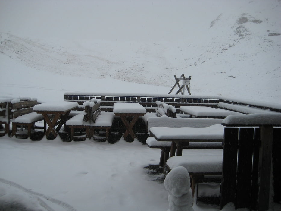
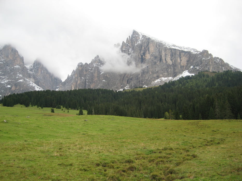
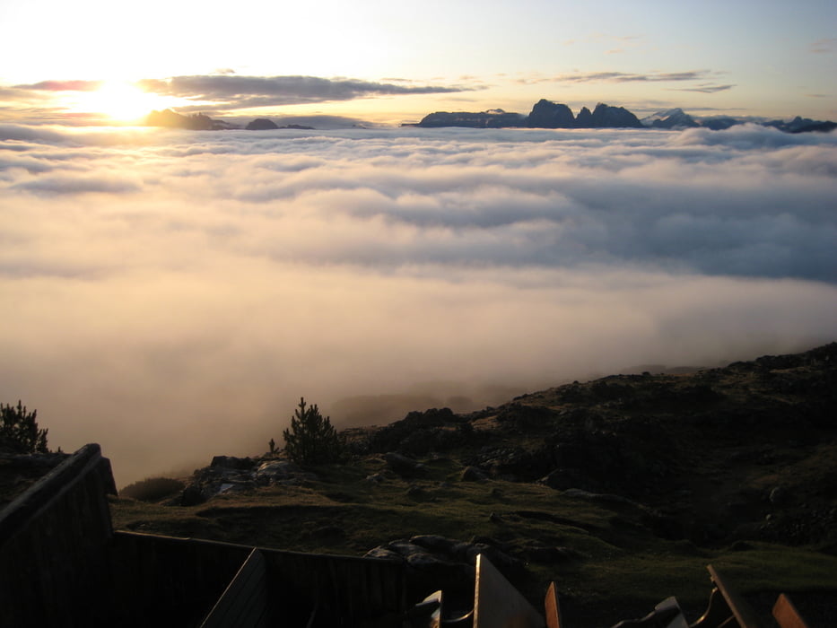
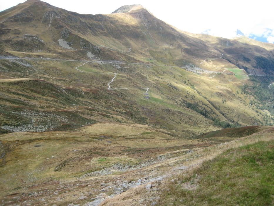
Landschaftlich sehr schöne Rundtour für - je nach Kondition - 4 - 7 Tage. Sehr viel ruhiger Asphalt aber auch teilweise sehr steile Schotterwege.

Галерея маршрутов

Карта маршрута и высотный профиль

  • Open Street Map
  • Google
Minimum height 492 m Maximum height 2342 m Детальный вид

More about the tour author

reinerbuettner
Member since 2008

Send private message

Комментарии

GPS-Tracks

Trackpoints
  • GPX / Garmin Map Source (gpx) download
  • TCX / Garmin Training Center® (tcx) download
  • CRS / Garmin Training Center® (crs) download
  • Google Earth (kml) download
  • G7ToWin (g7t) download
  • TTQV (trk) download
  • Overlay (ovl) download
  • Fugawi (txt) download
  • Kompass (DAV) Track (tk) download
  • Формуляр маршрута (pdf) download
  • Original file of the author (gpx) download

More about the tour author

reinerbuettner
Member since 2008

Send private message
Share track
Add to my favorites
Remove from my favorites
Edit tags
My score
Rate
Маршрут: Innsbruck-Brenner-Brixen-Schlüter Hütte-Grödner Joch-Seiser Alm-Rittner Horn-Penser Joch-Innsbruck - Rundtour
Вид: Горный велосипед
Длина: 360,8 km
Evaluated on:
Длительность:
Day(s)
Hour(s)
Minute(s)
Оценка: Ландшафт Веселье Кондиция Техника