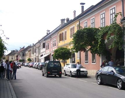
Es geht von Mattersburg aus über die B50 nach Eisenstadt und im Anschluss weiter nach Rust!
Ein Quicky so zu sagen, meist flach und schnell, bis auf den Heimweg von Eisenstadt nach Mattersburg, wo der Gegenwind ein Naturgesetz zu sein scheint.
Zu beachten ist, dass hier auch der Weg retour einberechnet ist.
Карта маршрута и высотный профиль
Minimum height 123 m
Maximum height 264 m
Комментарии

GPS-Tracks
Trackpoints-
GPX / Garmin Map Source (gpx) download
-
TCX / Garmin Training Center® (tcx) download
-
CRS / Garmin Training Center® (crs) download
-
Google Earth (kml) download
-
G7ToWin (g7t) download
-
TTQV (trk) download
-
Overlay (ovl) download
-
Fugawi (txt) download
-
Kompass (DAV) Track (tk) download
-
Формуляр маршрута (pdf) download
-
Original file of the author (gpx) download
Add to my favorites
Remove from my favorites
Edit tags
Open track
My score
Rate

