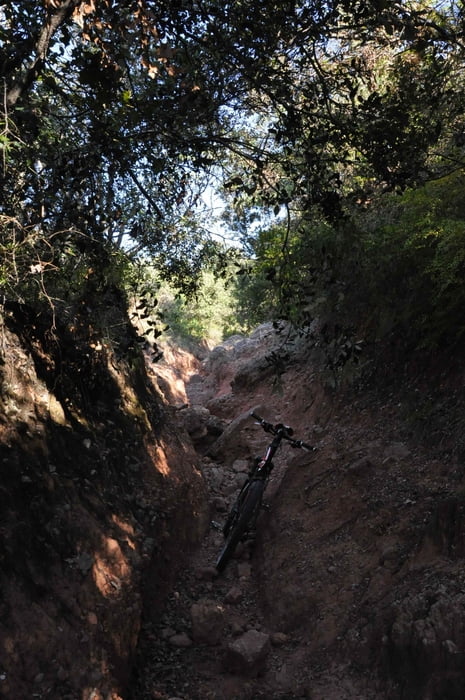
Kleine Rundtour der Anstieg ist zum teil recht steil, da durch den Regen der Weg ausgespült.
Rad muss getragen werden.
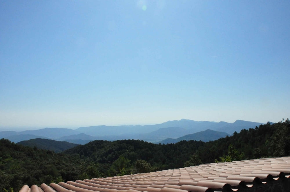
Einfache Tour mit toller Aussicht.
Unbedingt Ersatzschlauch und Pumpe mitführen, da viele Dornen und Sträucher bei der Abfahrt!
Галерея маршрутов
Карта маршрута и высотный профиль
Minimum height 446 m
Maximum height 905 m
Комментарии

GPS-Tracks
Trackpoints-
GPX / Garmin Map Source (gpx) download
-
TCX / Garmin Training Center® (tcx) download
-
CRS / Garmin Training Center® (crs) download
-
Google Earth (kml) download
-
G7ToWin (g7t) download
-
TTQV (trk) download
-
Overlay (ovl) download
-
Fugawi (txt) download
-
Kompass (DAV) Track (tk) download
-
Формуляр маршрута (pdf) download
-
Original file of the author (gpx) download
Add to my favorites
Remove from my favorites
Edit tags
Open track
My score
Rate


