Login

Забыл пароль?

Cookies have to be accepted!
Your browser's cookie functionality is disabled. Please enable this functionality.

Not a member yet?

Register now
Login

Available for registred users only

Log in to use this feature.

Забыл пароль?

Cookies have to be accepted!
Your browser's cookie functionality is disabled. Please enable this functionality.

Not a member yet?

Register now
Filter
Категории
Advanced filters
  • Длина (км)
  • Высотомер
Сохранить фильтр Reset filter

TrackRank

QRCode

Technical data

Длина52,0 km Высотомер1469 m Way down1443 m Длительность03:57 h:m Дата01.10.2009
Оценки Author Ландшафт Веселье Кондиция Техника

Статистика

2083 Виды Оценки 167 Загрузки Среднее
Rate
  • Формуляр маршрута
  • Дорога
  • Загрузки

Auffahrt: 3 Stunden

Abfahrt: 57 Minuten

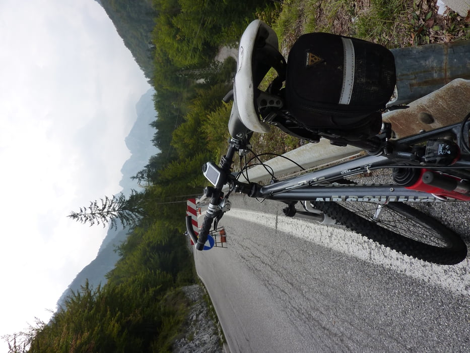
Start in Tarvis, dann über den Predilpass. Einen Kilometer nach der Grenze links vor der Brücke abbiegen und weiter hinauf bis zum Ende der Straße. Gleicher Weg zurück.

Галерея маршрутов

Карта маршрута и высотный профиль

  • Open Street Map
  • Google
Minimum height 714 m Maximum height 2050 m Детальный вид

More about the tour author

harald07071
Member since 2008

Send private message

Комментарии

Von Villach kommend A2 bis nach Tarvis.

GPS-Tracks

Trackpoints
  • GPX / Garmin Map Source (gpx) download
  • TCX / Garmin Training Center® (tcx) download
  • CRS / Garmin Training Center® (crs) download
  • Google Earth (kml) download
  • G7ToWin (g7t) download
  • TTQV (trk) download
  • Overlay (ovl) download
  • Fugawi (txt) download
  • Kompass (DAV) Track (tk) download
  • Формуляр маршрута (pdf) download
  • Original file of the author (gpx) download

More about the tour author

harald07071
Member since 2008

Send private message
Share track
Add to my favorites
Remove from my favorites
Edit tags
My score
Rate
Маршрут: Tarvis-Mangart (2055)
Вид: Горный велосипед
Длина: 52,0 km
Evaluated on:
Длительность:
Day(s)
Hour(s)
Minute(s)
Оценка: Ландшафт Веселье Кондиция Техника