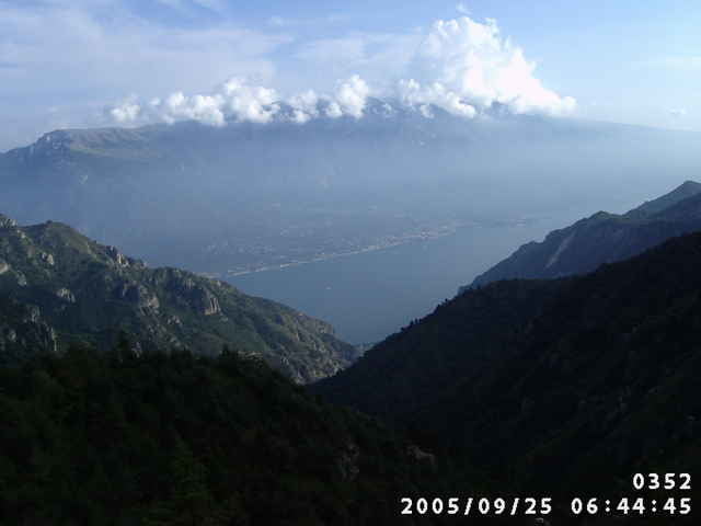
Eine MTB-Tour am Gardasee der besonderen Art war für mich die aus MTB 9/99 entnommene weitläufige Umrundung des Gardasees mit kleinen Abweichungen.
1. Tag Arco - Torre del Benaco
2. Tag Torre del Benaco - Rif. de Sima
3. Tag Rif. de Sima - Bondone
4. Tag Bondone - Arco
Am 2. Tag würde ich jedoch bei S. Michele nicht mehr den anfangs verlockenden Forstweg durch das Valle di Sur, sondern den in der Kompasskarte markierten MTB-Weg nehmen. Auch die gut 2oo Hm zum Monte Pizzocolo sind bei gutem Wetter sicher lohnend wegen der Aussicht zum See. Ich stand vorher schon im Nebel.
Галерея маршрутов
Карта маршрута и высотный профиль
Minimum height 49 m
Maximum height 2108 m
Комментарии

Arco kennt sicher jeder.
GPS-Tracks
Trackpoints-
GPX / Garmin Map Source (gpx) download
-
TCX / Garmin Training Center® (tcx) download
-
CRS / Garmin Training Center® (crs) download
-
Google Earth (kml) download
-
G7ToWin (g7t) download
-
TTQV (trk) download
-
Overlay (ovl) download
-
Fugawi (txt) download
-
Kompass (DAV) Track (tk) download
-
Формуляр маршрута (pdf) download
Add to my favorites
Remove from my favorites
Edit tags
Open track
My score
Rate

