Login

Забыл пароль?

Cookies have to be accepted!
Your browser's cookie functionality is disabled. Please enable this functionality.

Not a member yet?

Register now
Login

Available for registred users only

Log in to use this feature.

Забыл пароль?

Cookies have to be accepted!
Your browser's cookie functionality is disabled. Please enable this functionality.

Not a member yet?

Register now
Filter
Категории
Advanced filters
  • Длина (км)
  • Высотомер
Сохранить фильтр Reset filter

TrackRank

QRCode

Technical data

Длина29,0 km Высотомер927 m Way down913 m Длительность02:00 h:m Дата07.10.2009
Оценки Author Ландшафт Веселье Кондиция Техника

Статистика

1982 Виды 1 Оценка 391 Загрузки 4.00 Среднее
Rate
  • Формуляр маршрута
  • Дорога
  • Загрузки

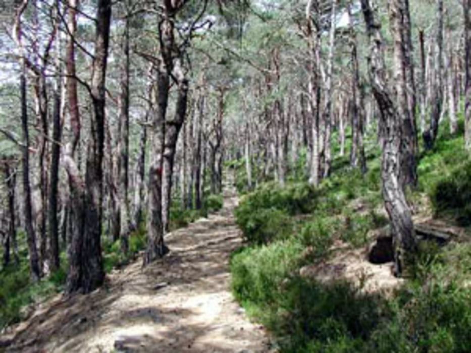
Die Tour führt meist auf Singletrails rund um den Kalmit. Eine bergauf sowie bergab technisch anspruchsvolle Tour, mit hohem Spassfaktor. Auf keinenfall was für Anfänger!

Карта маршрута и высотный профиль

  • Open Street Map
  • Google
Minimum height 273 m Maximum height 616 m Детальный вид

More about the tour author

ManiacRider
Member since 2009

Send private message

Комментарии

GPS-Tracks

Trackpoints
  • GPX / Garmin Map Source (gpx) download
  • TCX / Garmin Training Center® (tcx) download
  • CRS / Garmin Training Center® (crs) download
  • Google Earth (kml) download
  • G7ToWin (g7t) download
  • TTQV (trk) download
  • Overlay (ovl) download
  • Fugawi (txt) download
  • Kompass (DAV) Track (tk) download
  • Формуляр маршрута (pdf) download
  • Original file of the author (gpx) download

More about the tour author

ManiacRider
Member since 2009

Send private message
Share track
Add to my favorites
Remove from my favorites
Edit tags
My score
Rate
Маршрут: Singletrails rund um die Kalmit
Вид: Горный велосипед
Длина: 29,0 km
Evaluated on:
Длительность:
Day(s)
Hour(s)
Minute(s)
Оценка: Ландшафт Веселье Кондиция Техника