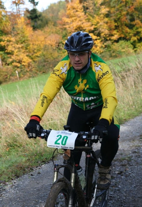
Der Start und Ziel erfolgt in Spiegelberg. Der Kurs geht durch das dortige Lautertal. Ich habe die Kondition auf 4 gesetzt, da es sich um ein Wettkampfrennen handelt und man schon ordentlich strampeln muss, um mitzuhalten.
Technisch liegt die Strecke gut im Schnitt. Wenn es recht nass ist, sind die Single-Trail-Abfahrten nicht ohne, da sie sehr steil sind.
Further information at
http://www.lautertal-bikemarathon.de/Карта маршрута и высотный профиль
Minimum height 322 m
Maximum height 569 m
Комментарии
Über die A81 - Großbottwar.
GPS-Tracks
Trackpoints-
GPX / Garmin Map Source (gpx) download
-
TCX / Garmin Training Center® (tcx) download
-
CRS / Garmin Training Center® (crs) download
-
Google Earth (kml) download
-
G7ToWin (g7t) download
-
TTQV (trk) download
-
Overlay (ovl) download
-
Fugawi (txt) download
-
Kompass (DAV) Track (tk) download
-
Формуляр маршрута (pdf) download
-
Original file of the author (gpx) download
Add to my favorites
Remove from my favorites
Edit tags
Open track
My score
Rate


Hat sich gelohnt
Lautertal-Bikemarathon Tour