


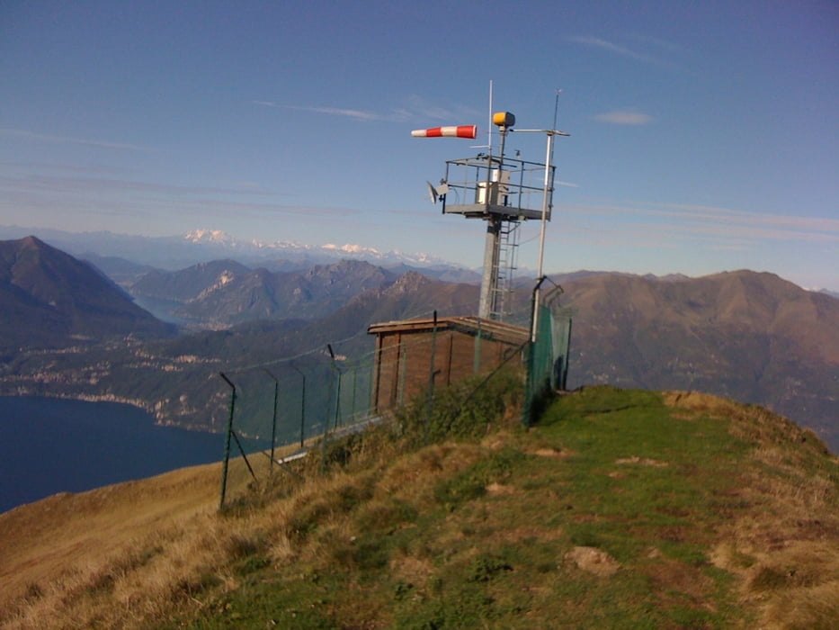
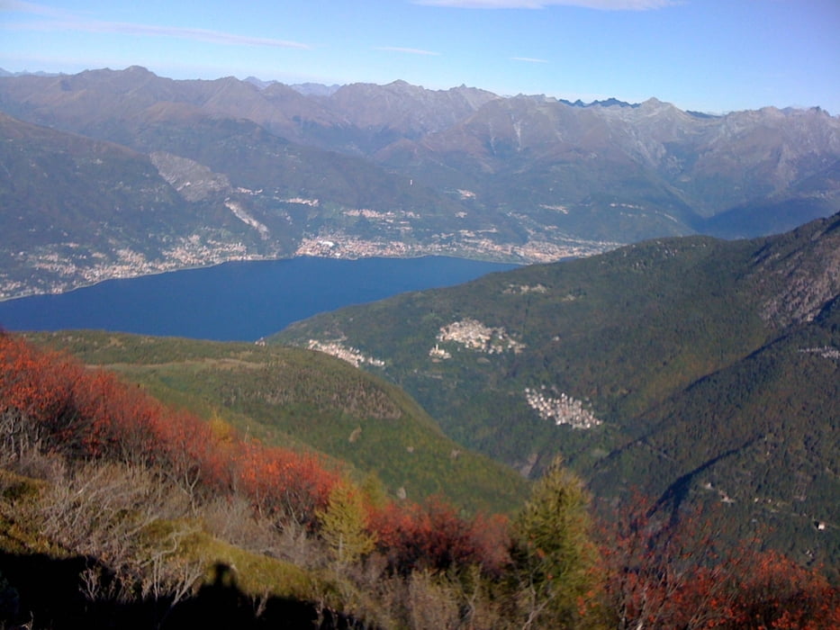
Prima parte di salita su asfalto non molto impegnativa, quindi salita su carrareccia, e parte finale con bici a spalla. Salita a piedi fino in vetta al Monte Croce di Muggio. La discesa verso Camaggiore prima costeggia a mezza costa, con vista spettacolare sul lago. Quindi discesa a capofitto in mezzo ai prati (piuttosto improvvisata nonostante il sentiero), arrivati a Camaggiore parte una mulattiera a gradini che porta a Dervio e sembra non finire mai. Discesa che non lascia un attimo di respiro. In alcuni punti il sentiero sembra sparire, in ogni caso è l'unico che scende verso Dervio.
Галерея маршрутов
Карта маршрута и высотный профиль
Minimum height 190 m
Maximum height 1797 m
More about the tour author
|
|
widegap |
Комментарии

Partenza da Bellano, dal parcheggio della stazione ferroviaria.
GPS-Tracks
Trackpoints-
GPX / Garmin Map Source (gpx) download
-
TCX / Garmin Training Center® (tcx) download
-
CRS / Garmin Training Center® (crs) download
-
Google Earth (kml) download
-
G7ToWin (g7t) download
-
TTQV (trk) download
-
Overlay (ovl) download
-
Fugawi (txt) download
-
Kompass (DAV) Track (tk) download
-
Формуляр маршрута (pdf) download
-
Original file of the author (gpx) download
More about the tour author
|
|
widegap |
Add to my favorites
Remove from my favorites
Edit tags
Open track
My score
Rate