Login

Забыл пароль?

Cookies have to be accepted!
Your browser's cookie functionality is disabled. Please enable this functionality.

Not a member yet?

Register now
Login

Available for registred users only

Log in to use this feature.

Забыл пароль?

Cookies have to be accepted!
Your browser's cookie functionality is disabled. Please enable this functionality.

Not a member yet?

Register now
Filter
Категории
Advanced filters
  • Длина (км)
  • Высотомер
Сохранить фильтр Reset filter

TrackRank

QRCode

Technical data

Длина59,9 km Высотомер247 m Way down241 m Длительность03:30 h:m Дата20.10.2009
Оценки Author Ландшафт Веселье Кондиция Техника

Статистика

1354 Виды Оценки 72 Загрузки Среднее
Rate
  • Формуляр маршрута
  • Дорога
  • Загрузки

Further information at

http://thorsten-bachner.de

Галерея маршрутов

Карта маршрута и высотный профиль

  • Open Street Map
  • Google
Minimum height 27 m Maximum height 107 m Детальный вид

More about the tour author

tbachner
Member since 2007

Send private message

Комментарии

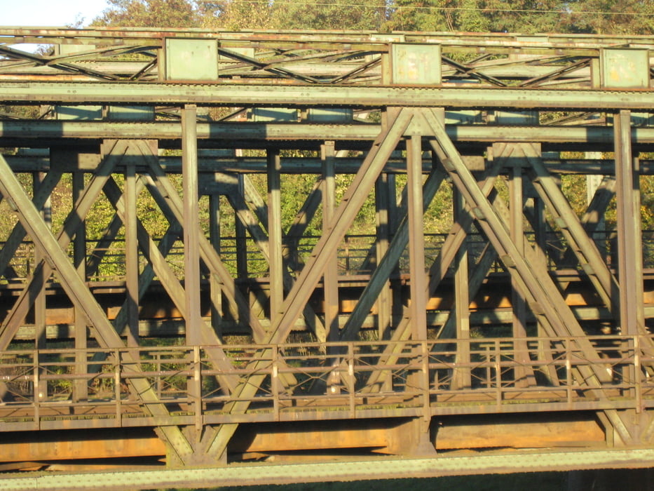
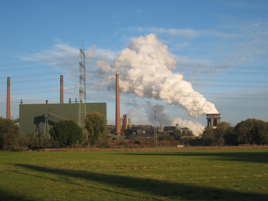
Die Tour beginnt in Oberhausen unweit der Hauptbahnhofs.

Den Endpunkt der Tour bildet die Dortmunder City mit dem Dortigen Hauptbahnhof.

Weitere Bahnhöfe  an der Strecke befinden sich in Altenessen, Geslenkirchen, Wanne-Eickel und Herne.


GPS-Tracks

Trackpoints
  • GPX / Garmin Map Source (gpx) download
  • TCX / Garmin Training Center® (tcx) download
  • CRS / Garmin Training Center® (crs) download
  • Google Earth (kml) download
  • G7ToWin (g7t) download
  • TTQV (trk) download
  • Overlay (ovl) download
  • Fugawi (txt) download
  • Kompass (DAV) Track (tk) download
  • Формуляр маршрута (pdf) download
  • Original file of the author (gpx) download

More about the tour author

tbachner
Member since 2007

Send private message
Share track
Add to my favorites
Remove from my favorites
Edit tags
My score
Rate
Маршрут: Auf der Emscherinsel
Вид: Трековый велосипед
Длина: 59,9 km
Evaluated on:
Длительность:
Day(s)
Hour(s)
Minute(s)
Оценка: Ландшафт Веселье Кондиция Техника