Login

Забыл пароль?

Cookies have to be accepted!
Your browser's cookie functionality is disabled. Please enable this functionality.

Not a member yet?

Register now
Login

Available for registred users only

Log in to use this feature.

Забыл пароль?

Cookies have to be accepted!
Your browser's cookie functionality is disabled. Please enable this functionality.

Not a member yet?

Register now
Filter
Категории
Advanced filters
  • Длина (км)
  • Высотомер
Сохранить фильтр Reset filter

TrackRank

QRCode

Technical data

Длина12,4 km Высотомер56 m Way down56 m Длительность00:00 h:m Дата26.10.2009
Оценки Author Ландшафт Веселье Кондиция Техника

Статистика

679 Виды Оценки 31 Загрузки Среднее
Rate
  • Формуляр маршрута
  • Дорога
  • Загрузки

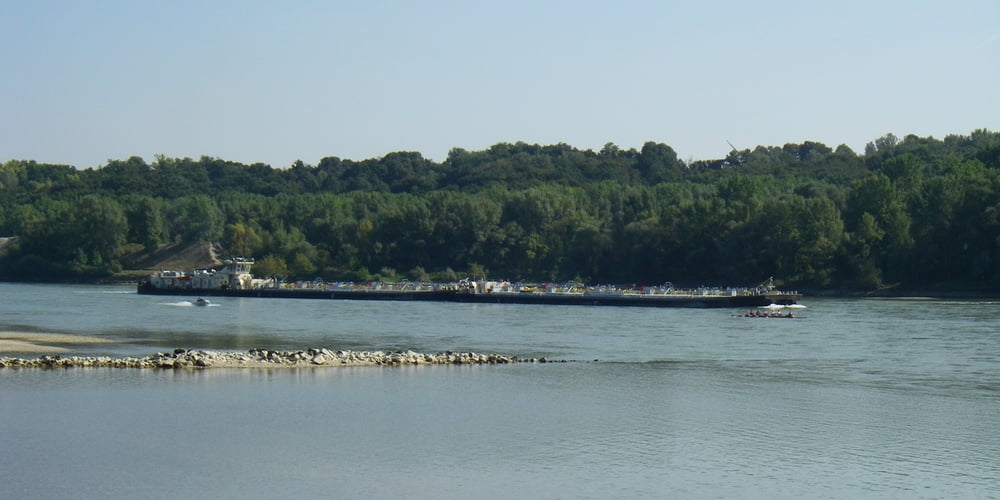
Natinalpark Donau Auen zu jeder Jahreszeit ein Genuß, diesmal mit niederig Wasser

Datum 26.09.2009


Alle Fotos:

Further information at

https://skydrive.live.com/?cid=dff63ce9c39979fe#cid=DFF63CE9C39979FE&id=DFF63CE9C39979FE%215147

Галерея маршрутов

Карта маршрута и высотный профиль

  • Open Street Map
  • Google
Minimum height 142 m Maximum height 160 m Детальный вид

More about the tour author

Herbiy
Member since 2009

Send private message

Комментарии

GPS-Tracks

Trackpoints
  • GPX / Garmin Map Source (gpx) download
  • TCX / Garmin Training Center® (tcx) download
  • CRS / Garmin Training Center® (crs) download
  • Google Earth (kml) download
  • G7ToWin (g7t) download
  • TTQV (trk) download
  • Overlay (ovl) download
  • Fugawi (txt) download
  • Kompass (DAV) Track (tk) download
  • Формуляр маршрута (pdf) download
  • Original file of the author (gpx) download

More about the tour author

Herbiy
Member since 2009

Send private message
Share track
Add to my favorites
Remove from my favorites
Edit tags
My score
Rate
Маршрут: Nationalpark Donau-Auen / Eckartsau
Вид: Пешеходный туризм
Длина: 12,4 km
Evaluated on:
Длительность:
Day(s)
Hour(s)
Minute(s)
Оценка: Ландшафт Веселье Кондиция Техника