Login

Забыл пароль?

Cookies have to be accepted!
Your browser's cookie functionality is disabled. Please enable this functionality.

Not a member yet?

Register now
Login

Available for registred users only

Log in to use this feature.

Забыл пароль?

Cookies have to be accepted!
Your browser's cookie functionality is disabled. Please enable this functionality.

Not a member yet?

Register now
Filter
Категории
Advanced filters
  • Длина (км)
  • Высотомер
Сохранить фильтр Reset filter

TrackRank

QRCode

Technical data

Длина55,0 km Высотомер640 m Way down645 m Длительность03:00 h:m Дата01.11.2009
Оценки Author Ландшафт Веселье Кондиция Техника

Статистика

622 Виды Оценки 143 Загрузки Среднее
Rate
  • Формуляр маршрута
  • Дорога
  • Загрузки

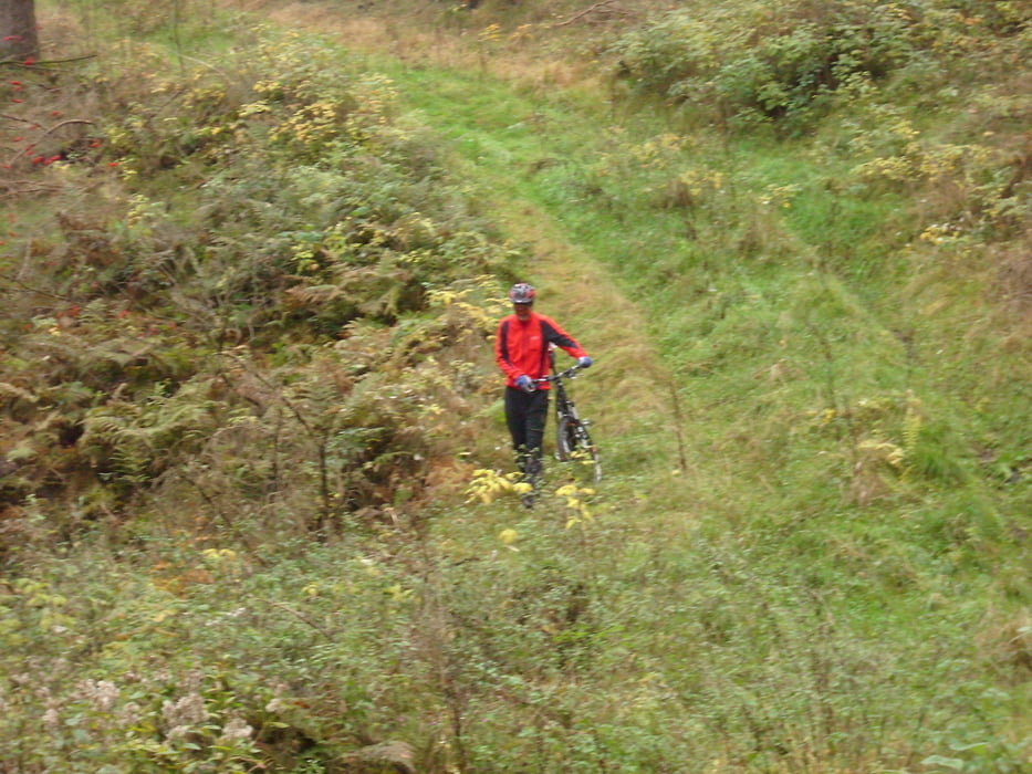
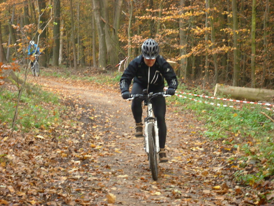
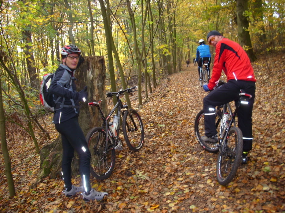
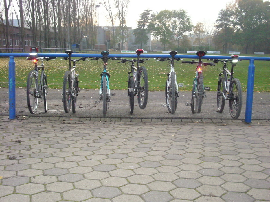
Beste Wetterprognosen, perfekte Ausrüstung, 7 Männer, 55 km, Willkommen auf dem Spielplatz! Alle Geschmäcker wurden bedient: Straße, Feldwege, Radellen, Schieben und rasante Abfahrten.


Галерея маршрутов

Карта маршрута и высотный профиль

  • Open Street Map
  • Google
Minimum height 46 m Maximum height 394 m Детальный вид

More about the tour author

oakie
Member since 2009

Send private message

Комментарии

Hannover Linden -- Benther Berg -- Gehrdener Berg -- Deister -- Hannover Linden

GPS-Tracks

Trackpoints
  • GPX / Garmin Map Source (gpx) download
  • TCX / Garmin Training Center® (tcx) download
  • CRS / Garmin Training Center® (crs) download
  • Google Earth (kml) download
  • G7ToWin (g7t) download
  • TTQV (trk) download
  • Overlay (ovl) download
  • Fugawi (txt) download
  • Kompass (DAV) Track (tk) download
  • Формуляр маршрута (pdf) download
  • Original file of the author (gpx) download

More about the tour author

oakie
Member since 2009

Send private message
Share track
Add to my favorites
Remove from my favorites
Edit tags
My score
Rate
Маршрут: Linden - Deister - Linden
Вид: Горный велосипед
Длина: 55,0 km
Evaluated on:
Длительность:
Day(s)
Hour(s)
Minute(s)
Оценка: Ландшафт Веселье Кондиция Техника