Login

Забыл пароль?

Cookies have to be accepted!
Your browser's cookie functionality is disabled. Please enable this functionality.

Not a member yet?

Register now
Login

Available for registred users only

Log in to use this feature.

Забыл пароль?

Cookies have to be accepted!
Your browser's cookie functionality is disabled. Please enable this functionality.

Not a member yet?

Register now
Filter
Категории
Advanced filters
  • Длина (км)
  • Высотомер
Сохранить фильтр Reset filter

TrackRank

QRCode

Technical data

Длина26,1 km Высотомер718 m Way down719 m Длительность02:30 h:m Дата01.11.2009
Оценки Author Ландшафт Веселье Кондиция Техника

Статистика

208 Виды Оценки 33 Загрузки Среднее
Rate
  • Формуляр маршрута
  • Дорога
  • Загрузки

Startpunkt ist die Grundschule in Eschenstruth.

Von dort aus geht es über die Bahnschienen direkt in den Wald.

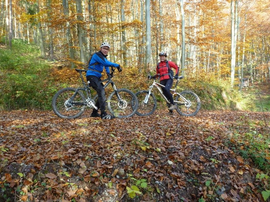
Die Tour verläuft zum großen Teil auf Forstwegen. Nur der letzte Teil ist Singletrail.

Галерея маршрутов

Карта маршрута и высотный профиль

  • Open Street Map
  • Google
Minimum height 310 m Maximum height 542 m Детальный вид

More about the tour author

thebiker
Member since 2008

Send private message

Комментарии

GPS-Tracks

Trackpoints
  • GPX / Garmin Map Source (gpx) download
  • TCX / Garmin Training Center® (tcx) download
  • CRS / Garmin Training Center® (crs) download
  • Google Earth (kml) download
  • G7ToWin (g7t) download
  • TTQV (trk) download
  • Overlay (ovl) download
  • Fugawi (txt) download
  • Kompass (DAV) Track (tk) download
  • Формуляр маршрута (pdf) download
  • Original file of the author (gpx) download

More about the tour author

thebiker
Member since 2008

Send private message
Share track
Add to my favorites
Remove from my favorites
Edit tags
My score
Rate
Маршрут: Um den Rohrberg
Вид: Горный велосипед
Длина: 26,1 km
Evaluated on:
Длительность:
Day(s)
Hour(s)
Minute(s)
Оценка: Ландшафт Веселье Кондиция Техника