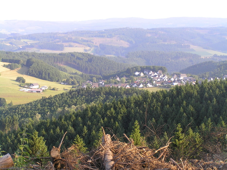
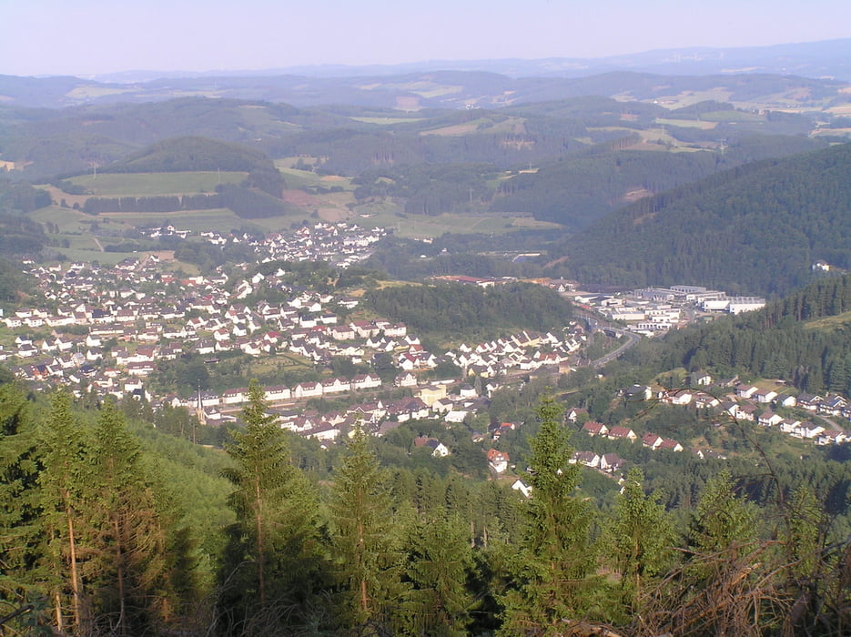
Login

Забыл пароль?

Cookies have to be accepted!
Your browser's cookie functionality is disabled. Please enable this functionality.

Not a member yet?

Register now
Login

Available for registred users only

Log in to use this feature.

Забыл пароль?

Cookies have to be accepted!
Your browser's cookie functionality is disabled. Please enable this functionality.

Not a member yet?

Register now
Filter
Категории
Advanced filters
  • Длина (км)
  • Высотомер
Сохранить фильтр Reset filter

TrackRank

QRCode

Technical data

Длина5,8 km Высотомер170 m Way down176 m Длительность01:20 h:m Дата23.11.2009
Оценки Author Ландшафт Веселье Кондиция Техника

Статистика

1136 Виды Оценки 89 Загрузки Среднее
Rate
  • Формуляр маршрута
  • Дорога
  • Загрузки

Rundweg Kuhhelle


Start u Ziel:  Wanderparkplatz  "Unter dem Linden" Halberbracht

Hexenplatz

Kuhhelle (rechts am Turm vorbei)

Kreuzung Rothenhagen

zurück zur Kuhhelle

abbiegen in den Waldlehrpfad

Hexenplatz

zurück zu "Unter dem Linden"


Галерея маршрутов

Карта маршрута и высотный профиль

  • Open Street Map
  • Google
Minimum height 476 m Maximum height 585 m Детальный вид

More about the tour author

Elsper
Member since 2009

Send private message

Комментарии

GPS-Tracks

Trackpoints
  • GPX / Garmin Map Source (gpx) download
  • TCX / Garmin Training Center® (tcx) download
  • CRS / Garmin Training Center® (crs) download
  • Google Earth (kml) download
  • G7ToWin (g7t) download
  • TTQV (trk) download
  • Overlay (ovl) download
  • Fugawi (txt) download
  • Kompass (DAV) Track (tk) download
  • Формуляр маршрута (pdf) download
  • Original file of the author (gpx) download

More about the tour author

Elsper
Member since 2009

Send private message
Share track
Add to my favorites
Remove from my favorites
Edit tags
My score
Rate
Маршрут: Rundweg Kuhhelle (Tour sehr empfehlenswert)
Вид: Пешеходный туризм
Длина: 5,8 km
Evaluated on:
Длительность:
Day(s)
Hour(s)
Minute(s)
Оценка: Ландшафт Веселье Кондиция Техника