Login

Забыл пароль?

Cookies have to be accepted!
Your browser's cookie functionality is disabled. Please enable this functionality.

Not a member yet?

Register now
Login

Available for registred users only

Log in to use this feature.

Забыл пароль?

Cookies have to be accepted!
Your browser's cookie functionality is disabled. Please enable this functionality.

Not a member yet?

Register now
Filter
Категории
Advanced filters
  • Длина (км)
  • Высотомер
Сохранить фильтр Reset filter

TrackRank

QRCode

Technical data

Длина15,0 km Высотомер397 m Way down362 m Длительность03:42 h:m Дата28.11.2009
Оценки Author User Ландшафт Веселье Кондиция Техника

Статистика

1866 Виды 1 Оценка 59 Загрузки 5.00 Среднее
Rate
  • Формуляр маршрута
  • Дорога
  • Загрузки
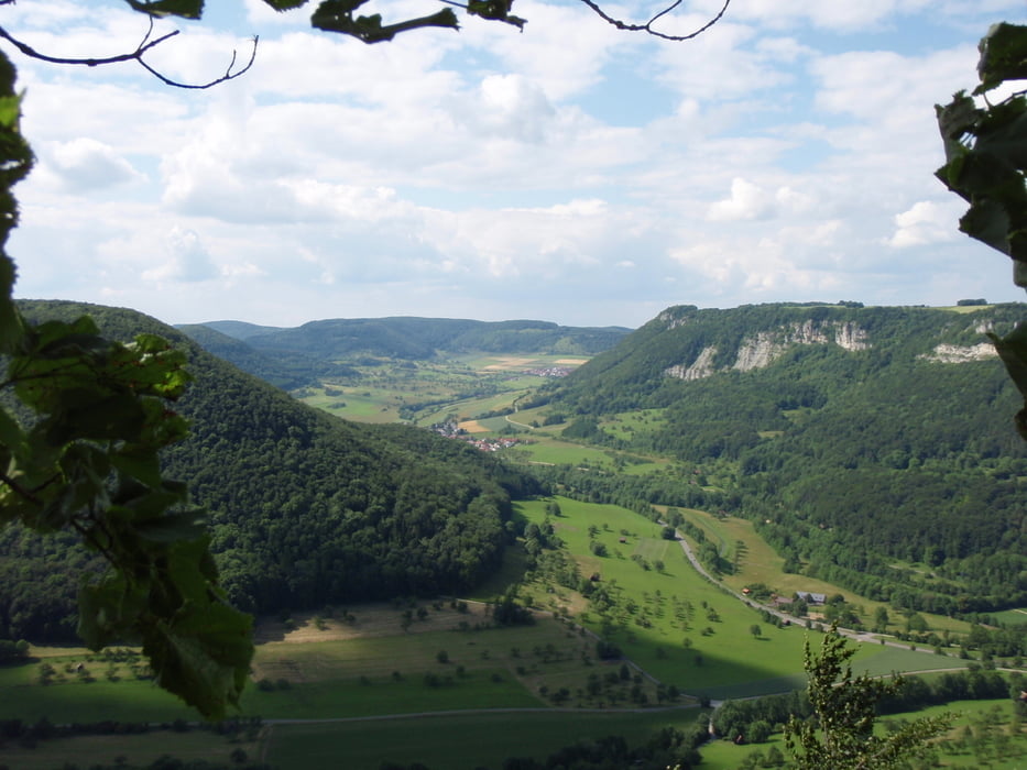
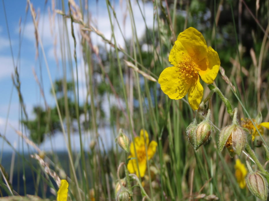
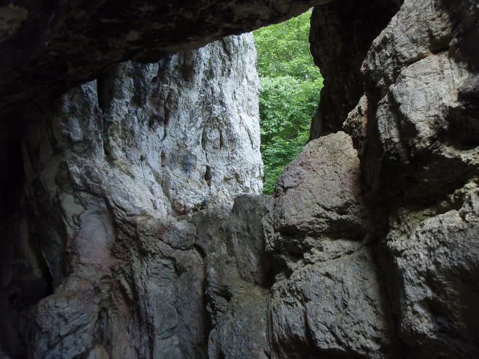
Wunderschöne Höhentour von Bad Überkingen ins Autal hinauf zur Brunnensteighöhle zum Albtrauf dort entlang. Durch Türkheim am Drachenfliegerstartplatz vorbei bis zum Kahlenstein, dort absteigen zurück nach Bad Überkingen.

Галерея маршрутов

Карта маршрута и высотный профиль

  • Open Street Map
  • Google
Minimum height 413 m Maximum height 724 m Детальный вид

More about the tour author

Hassor
Member since 2008

Send private message

Комментарии

Parkplatz in Bad Überkingen beim Autalstüble

GPS-Tracks

Trackpoints
  • GPX / Garmin Map Source (gpx) download
  • TCX / Garmin Training Center® (tcx) download
  • CRS / Garmin Training Center® (crs) download
  • Google Earth (kml) download
  • G7ToWin (g7t) download
  • TTQV (trk) download
  • Overlay (ovl) download
  • Fugawi (txt) download
  • Kompass (DAV) Track (tk) download
  • Формуляр маршрута (pdf) download
  • Original file of the author (gpx) download

More about the tour author

Hassor
Member since 2008

Send private message
Share track
Add to my favorites
Remove from my favorites
Edit tags
My score
Rate
Маршрут: Ins Autal bei Bad Überkingen
Вид: Пешеходный туризм
Длина: 15,0 km
Evaluated on:
Длительность:
Day(s)
Hour(s)
Minute(s)
Оценка: Ландшафт Веселье Кондиция Техника