7. April 2009
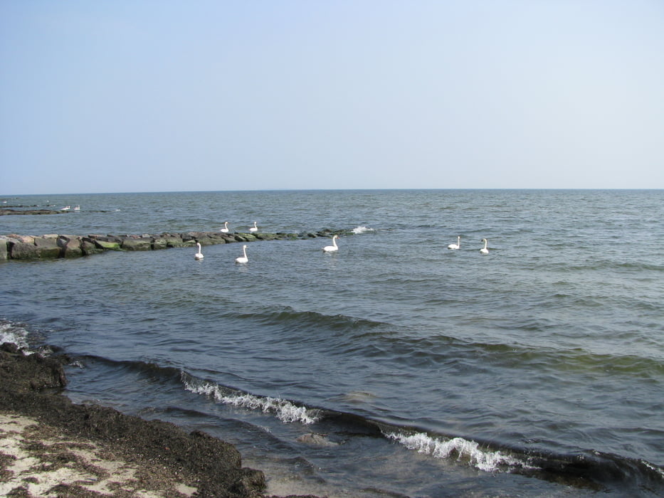
Am Nachmittag brechen wir noch zu einer kurzen Wanderung um Thiessow herum auf. Wir laufen auf einem Rad-/Fussweg schnurgerade auf den Strand zu. Wir folgen dem Strand nach links, allerdings nicht ganz bis zur Landspitze, sondern kürzen den Weg ab, bis wir am Südperd wieder auf den Strand stossen. Dann schlendern wir nochmal für kurze Zeit am Strand entlang, bis wir schliesslich durch einen kleinen Wald zum Parkplatz zurückkommen.
Галерея маршрутов
Карта маршрута и высотный профиль
Minimum height -5 m
Maximum height 10 m
Комментарии

Gebührenpflichtige Parkplatz in Thiessow
GPS-Tracks
Trackpoints-
GPX / Garmin Map Source (gpx) download
-
TCX / Garmin Training Center® (tcx) download
-
CRS / Garmin Training Center® (crs) download
-
Google Earth (kml) download
-
G7ToWin (g7t) download
-
TTQV (trk) download
-
Overlay (ovl) download
-
Fugawi (txt) download
-
Kompass (DAV) Track (tk) download
-
Формуляр маршрута (pdf) download
-
Original file of the author (gpx) download
Add to my favorites
Remove from my favorites
Edit tags
Open track
My score
Rate


