Login

Забыл пароль?

Cookies have to be accepted!
Your browser's cookie functionality is disabled. Please enable this functionality.

Not a member yet?

Register now
Login

Available for registred users only

Log in to use this feature.

Забыл пароль?

Cookies have to be accepted!
Your browser's cookie functionality is disabled. Please enable this functionality.

Not a member yet?

Register now
Filter
Категории
Advanced filters
  • Длина (км)
  • Высотомер
Сохранить фильтр Reset filter

TrackRank

QRCode

Technical data

Длина4,8 km Высотомер335 m Way down12 m Длительность02:00 h:m Дата03.02.2010
Оценки Author Ландшафт Веселье Кондиция Техника

Статистика

558 Виды Оценки 73 Загрузки Среднее
Rate
  • Формуляр маршрута
  • Дорога
  • Загрузки

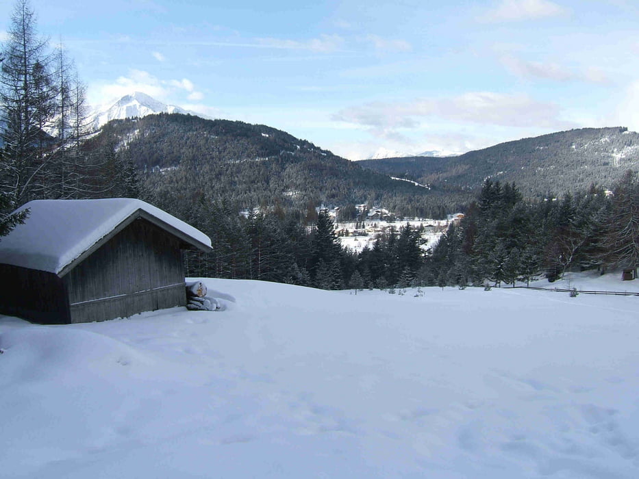
herrliche einfache Winterwanderung mit schönen Ausblicken und gemütlicher Alm

Галерея маршрутов

Карта маршрута и высотный профиль

  • Open Street Map
  • Google
Minimum height 1178 m Maximum height 1517 m Детальный вид

More about the tour author

berny_aus_muc
Member since 2009

Send private message

Комментарии

Bundesstrasse Seefeld - Innsbruck, auf Hinweisschild Reitherjochalm achten, oder von Seefeld aus

GPS-Tracks

Trackpoints
  • GPX / Garmin Map Source (gpx) download
  • TCX / Garmin Training Center® (tcx) download
  • CRS / Garmin Training Center® (crs) download
  • Google Earth (kml) download
  • G7ToWin (g7t) download
  • TTQV (trk) download
  • Overlay (ovl) download
  • Fugawi (txt) download
  • Kompass (DAV) Track (tk) download
  • Формуляр маршрута (pdf) download
  • Original file of the author (gpx) download

More about the tour author

berny_aus_muc
Member since 2009

Send private message
Share track
Add to my favorites
Remove from my favorites
Edit tags
My score
Rate
Маршрут: Seefeld - Reitherjochalm
Вид: Пешеходный туризм
Длина: 4,8 km
Evaluated on:
Длительность:
Day(s)
Hour(s)
Minute(s)
Оценка: Ландшафт Веселье Кондиция Техника